Home
Images
Vectors
Videos
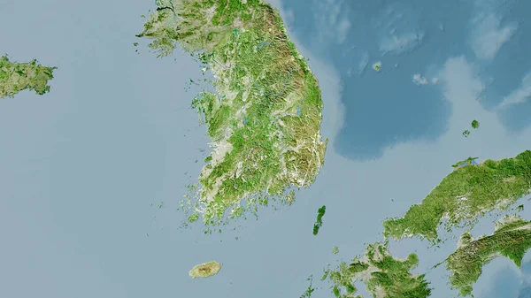
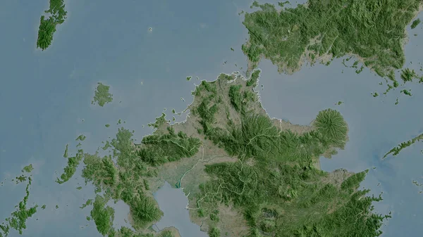
Stock image Nagasaki, prefecture of Japan. Satellite imagery. Shape outlined against its country area. 3D rendering
Published:
Sep.16, 2020 07:48:34
Author:
Yarr65
Views:
0
Downloads:
0
File type:
image
/
jpg
File size:
3.71 MB
Orginal size:
2880
x
1620
px
Available sizes:
S
(500 x 281)
M
(1000 x 563)
L
(2000 x 1125)
XL
(2880 x 1620)
EL0
(2880 x 1620)
Level:
bronze
Download Image
Image topics:
View
Shape
Travel
Nature
Border
Landscape
Glow
Contour
Scale
Earth
Planet
World
Ocean
Science
Capital
Profile
Outline
Country
Map
Cartography
Geography
Continent
Land
Zoom
Asia
Japan
Satellite
Tokyo
Region
Prefecture
Territory
Outlined
Atlas
Legend
Overlay
Nagasaki
3d Rendering
Subregion
Jpn
Administrative Division
Nagosaki
Similar stock images
Nagasaki - Prefecture Of Japan Zoomed And Highlighted With Capital. Main Physical Landscape Features. 3D Rendering
2880 × 1620
Nagasaki, Prefecture Of Japan. Colored Shader Data With Lakes And Rivers. Shape Outlined Against Its Country Area. 3D Rendering
2880 × 1620
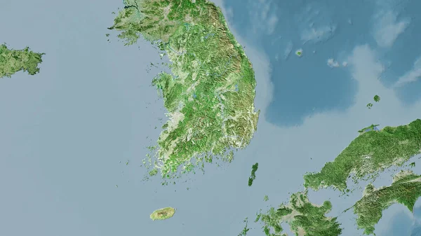
South Korea Area On The Satellite A Map In The Stereographic Projection - Raw Composition Of Raster Layers
2880 × 1620
Miyazaki, Prefecture Of Japan. Satellite Imagery. Shape Outlined Against Its Country Area. 3D Rendering
2880 × 1620
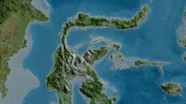
Fukuoka, Prefecture Of Japan. Satellite Imagery. Shape Outlined Against Its Country Area. 3D Rendering
2880 × 1620
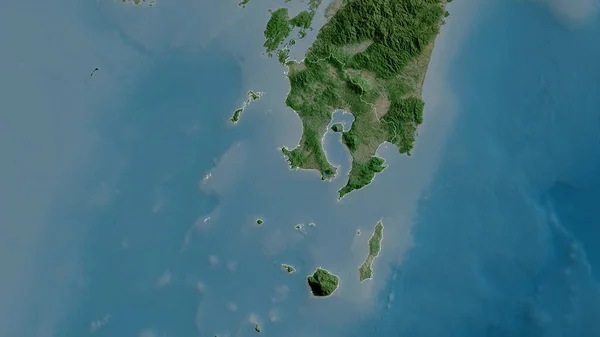
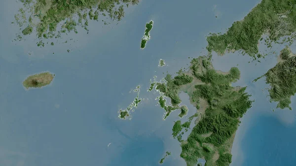
Kagoshima, Prefecture Of Japan. Satellite Imagery. Shape Outlined Against Its Country Area. 3D Rendering
2880 × 1620
South Korea Area On The Satellite D Map In The Stereographic Projection - Raw Composition Of Raster Layers
2880 × 1620
Sulawesi Tengah, Province Of Indonesia. Satellite Imagery. Shape Outlined Against Its Country Area. 3D Rendering
2880 × 1620