Home
Images
Vectors
Videos
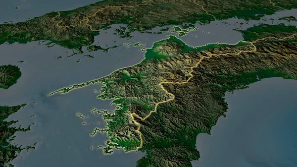
Stock image Nara, prefecture of Japan. Satellite imagery. Shape outlined against its country area. 3D rendering
Published:
Sep.16, 2020 07:48:34
Author:
Yarr65
Views:
1
Downloads:
0
File type:
image
/
jpg
File size:
5.4 MB
Orginal size:
2880
x
1620
px
Available sizes:
S
(500 x 281)
M
(1000 x 563)
L
(2000 x 1125)
XL
(2880 x 1620)
EL0
(2880 x 1620)
Level:
bronze
Download Image
Image topics:
View
Shape
Travel
Nature
Border
Landscape
Glow
Contour
Scale
Earth
Planet
World
Ocean
Science
Capital
Profile
Outline
Country
Map
Cartography
Geography
Continent
Land
Zoom
Asia
Japan
Satellite
Tokyo
Region
Prefecture
Territory
Outlined
Atlas
Legend
Nara
Overlay
3d Rendering
Subregion
Jpn
Administrative Division
Similar stock images
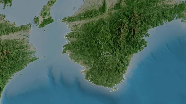
Wakayama, Prefecture Of Japan. Satellite Imagery. Shape Outlined Against Its Country Area. 3D Rendering
2880 × 1620
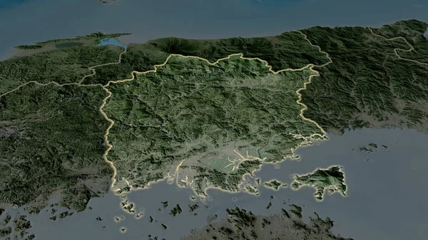
Miyazaki, Prefecture Of Japan. Satellite Imagery. Shape Outlined Against Its Country Area. 3D Rendering
2880 × 1620
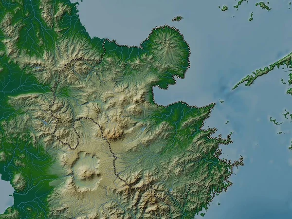
Miyazaki - Prefecture Of Japan Zoomed And Highlighted With Capital. Satellite Imagery. 3D Rendering
2880 × 1620
Ehime - Prefecture Of Japan Zoomed And Highlighted With Capital. Main Physical Landscape Features. 3D Rendering
2880 × 1620
Oita, Prefecture Of Japan. Satellite Imagery. Shape Outlined Against Its Country Area. 3D Rendering
2880 × 1620
Gyeongsangnam-do, Province Of South Korea. Satellite Imagery. Shape Outlined Against Its Country Area. 3D Rendering
2880 × 1620
Oita, Prefecture Of Japan. Colored Elevation Map With Lakes And Rivers
3840 × 2880
Okayama - Prefecture Of Japan Zoomed And Highlighted With Capital. Satellite Imagery. 3D Rendering
2880 × 1620