Home
Images
Vectors
Videos
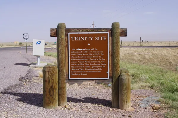
Stock image NEAR SOCORRO, NEW MEXICO, USA-OCT 6: A road side Historical Marker on U.S. Route 380, marks the area known as Trinity Site, location of the world's first atomic bomb detonation. Photographed in 2011.
Published:
Mar.18, 2013 13:34:12
Author:
robert1598
Views:
811
Downloads:
6
File type:
image
/
jpg
File size:
5.33 MB
Orginal size:
4288
x
2848
px
Available sizes:
S
(500 x 332)
M
(1000 x 664)
L
(2000 x 1328)
XL
(4288 x 2848)
EL0
(4288 x 2848)
Level:
beginner
Download Image
Image topics:
White
Horizontal
Day
Sign
New
Sunny
First
Road
Two
World
Usa
Project
Range
Science
Route
Vacation
Site
Historic
War
Army
Bomb
Japan
Atom
Atomic
July
United
States
Marker
2011
Sands
Mexico
Detonation
Trinity
Manhattan
Missile
Ii
Einstein
1945
Hiroshima
Nagasaki
Socorro
Oct
Bohr
Fermi
New Mexico
WW II
Wsmr
Openheimer
Trinity Site
Los Alamos
Similar stock images
Lower Antelope Canyon Sign In Glen Canyon National Recreation Area, Northern Arizona
5999 × 3999
NEW MEXICO, USA - NOVEMBER 19, 2019: New Mexico Information Plate "WILDERNESS", USA - Ah-Shi-Sle-Pah Wilderness Study Area
6921 × 4669
NEAR SOCORRO, NEW MEXICO, USA-OCT 6: A Sign At The Entrance To The National Radio Astronomy Observatory Very Large Array (VLA) Is Pictured On Oct 6, 2011.
4239 × 2775
Wide Roadside Scene Outside Farms In New Mexico.
5184 × 3888
Florissant, Colorado - September 16, 2020: Sign For The Leaving Florissant Fossil Beds National Monument
5338 × 3559
The Sign Board Of The Rio Grande Gorge Recreation Area
4912 × 2760
Road Sign In The Desert
5568 × 3712
Ghost Town, Rhyolite, Death Valley California
5184 × 3456