Home
Images
Vectors
Videos
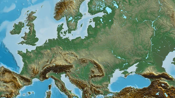
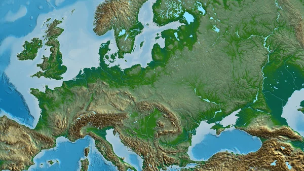
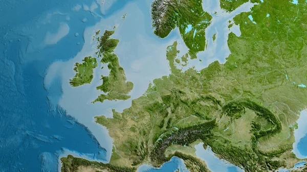
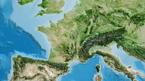
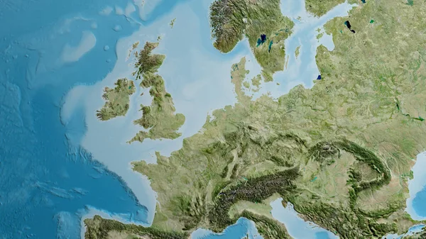
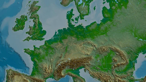
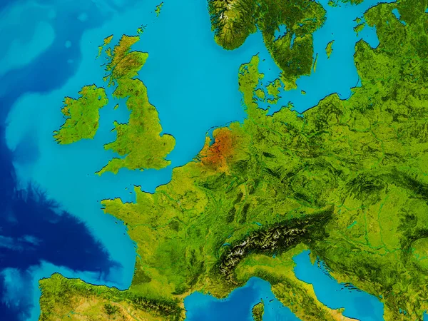
Stock image Netherlands on physical map
Published:
May.11, 2017 04:29:22
Author:
tom.griger
Views:
30
Downloads:
0
File type:
image
/
jpg
File size:
13.37 MB
Orginal size:
5000
x
3750
px
Available sizes:
S
(500 x 375)
M
(1000 x 750)
L
(2000 x 1500)
XL
(5000 x 3750)
EL0
(5000 x 3750)
Level:
bronze
Download Image
Image topics:
Red
Illustration
Focus
Earth
Planet
Netherlands
Holland
Detailed
Europe
Globe
Map
Cartography
Geography
Orbit
Satellite
Highlighted
Dutch
3d Render
Similar stock images
Belgium On Physical Map
5000 × 3750
Relief Map Centered On Poland Neighborhood Area
3840 × 2160
Physical Map Centered On Poland Neighborhood Area
3840 × 2160
Satellite Map Centered On Netherlands Neighborhood Area
3840 × 2160
Close-up Of Asatellite Map Centered On France
3840 × 2160
Netherlands From Space In Red
5000 × 3750
Satellite Map Centered On Netherlands Neighborhood Area
3840 × 2160
Germany Zoomed And Neighborhood. Main Physical Landscape Features. 3D Rendering
2880 × 1620