photo free
Home Images Vectors Videos

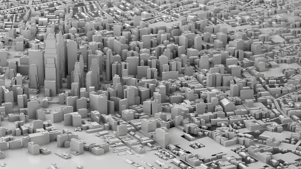
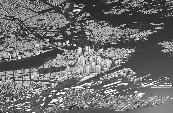
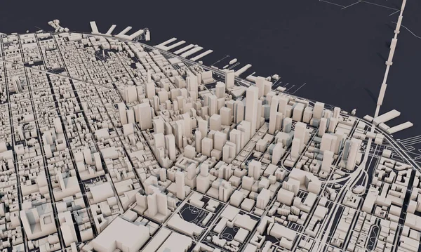
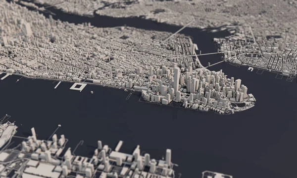
Stock image New York city map 3D Rendering. Aerial satellite view.
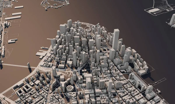
Stock image New York city map 3D Rendering. Aerial satellite view.
Published: Mar.18, 2020 08:33:13
Author: InkDropCreative
Views: 107
Downloads: 3
File type: image / jpg
File size: 7.4 MB
Orginal size: 5000 x 3000 px
Available sizes:
S
(500 x 300)
M
(1000 x 600)
L
(2000 x 1200)
XL
(5000 x 3000)
EL0
(5000 x 3000)
Level: silver
Download Image
Image topics:

Similar stock images

stock image illuminated brown futuristic city buildings model with river and bridges

Illuminated Brown Futuristic City Buildings Model With River And Bridges

6000 × 3000
stock image 3D illustration of futuristic modern city

3D Illustration Of Futuristic Modern City

7680 × 4320
stock image San Francisco city map 3D Rendering. Aerial satellite view.

San Francisco City Map 3D Rendering. Aerial Satellite View.

5000 × 3000
stock image Madrid, Spain city map aerial view. minimal design. 3D Rendering,

Madrid, Spain City Map Aerial View. Minimal Design. 3D Rendering,

6000 × 3500
stock image Satellite view of Boston, map of the city with house and building. Skyscrapers. Massachusetts. Usa. 3d rendering

Satellite View Of Boston, Map Of The City With House And Building. Skyscrapers. Massachusetts. Usa. 3d Rendering

5511 × 3608
stock image San Francisco city map 3D Rendering. Aerial satellite view.

San Francisco City Map 3D Rendering. Aerial Satellite View.

5000 × 3000
stock image New York city map 3D Rendering. Aerial satellite view.

New York City Map 3D Rendering. Aerial Satellite View.

5000 × 3000
stock image Futuristic city buildings model, 3d rendering

Futuristic City Buildings Model, 3d Rendering

4500 × 4500