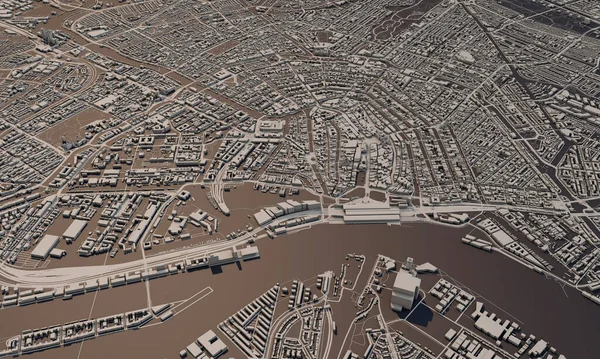
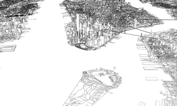
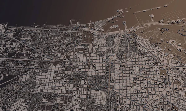
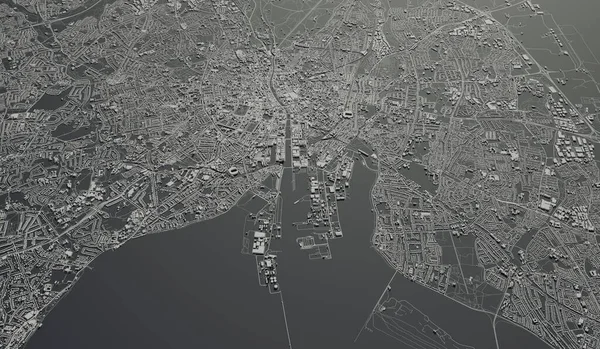
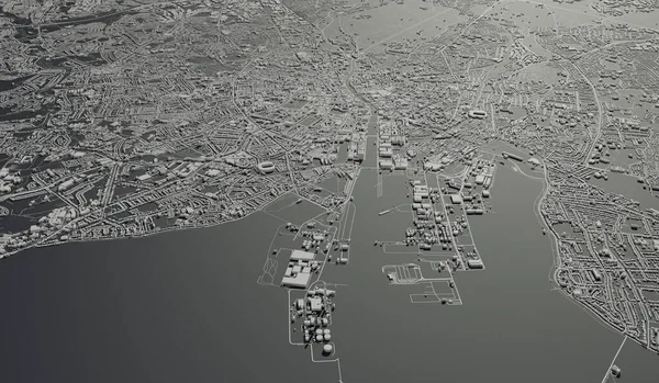
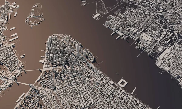
Stock image New York city map 3D Rendering. Aerial satellite view.
Published: Mar.18, 2020 08:33:13
Author: InkDropCreative
Views: 8
Downloads: 0
File type: image / jpg
File size: 10.23 MB
Orginal size: 4907 x 2944 px
Available sizes:
Level: silver