Home
Images
Vectors
Videos
Stock image New York navigation subway map
Published:
Feb.26, 2015 16:12:28
Author:
zamula
Views:
188
Downloads:
1
File type:
image
/
jpg
File size:
6.57 MB
Orginal size:
5600
x
4200
px
Available sizes:
S
(500 x 375)
M
(1000 x 750)
L
(2000 x 1500)
XL
(5600 x 4200)
EL0
(5600 x 4200)
Level:
bronze
Download Image
Image topics:
Green
Red
Yellow
Computer
Graphic
Colored
Illustration
Travel
Transport
Transportation
Mode
3d
Purple
City
Urban
Text
Global
Navigation
System
Journey
Discovery
Train
Direction
Map
Cartography
Plan
Station
Traveling
Searching
Guide
Underground
Railroad
Metro
Locations
Thoroughfare
Gps
Positioning
Subway
Maps
New York
Similar stock images
Map, Gps And Navigation For Travel Or Location With Roadmap Lines, Dots Or Street Name Pin On City. Abstract, Background And Technology Or System To Search Place, Route Or Destination In New York.
5000 × 3000
Mapping Out The Route. Cropped View Of A Map Of The Underground Railway Lines - ALL Design On This Image Is Created From Scratch By Yuri Arcurs Team Of Professionals For This Particular Photo Shoot
5000 × 3000
Round Metro Or Subway Underground Transport City Map, Vector Urban Railway Station Lines Scheme. Subway Metro Or Tube And Public Transport Network Plan With Train, Bus Or Tram Connection Stations
5477 × 5477
Tube Map Of Moscow Underground.
3616 × 2177
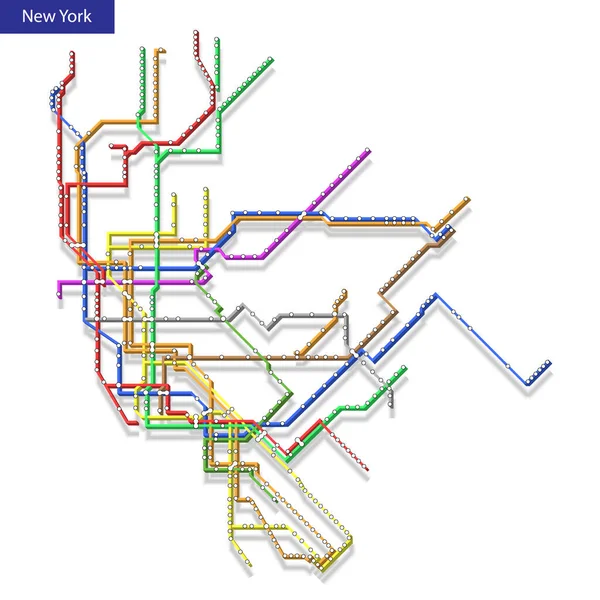
3d Isometric Map Of The New York Metro Subway. Template Of City Transportation Scheme For Underground Road
4000 × 4000
Close Up Of Paris Metro Subway Map
7728 × 5152
Metro Or Subway Map Design Template. City Transportation Scheme Concept. Vector Illustration
6000 × 6000
Metro Map Of Washington DC, United States
3100 × 3117