photo free
Home Images Vectors Videos

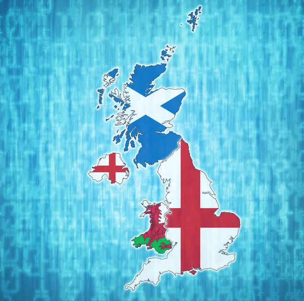
Stock image Northern Ireland on political map of united kingdom

Stock image Northern Ireland on political map of united kingdom
Published: Jun.24, 2019 16:15:17
Author: michal812
Views: 0
Downloads: 0
File type: image / jpg
File size: 5.95 MB
Orginal size: 4576 x 4531 px
Available sizes:
S
(500 x 495)
M
(1000 x 990)
L
(2000 x 1980)
XL
(4576 x 4531)
EL0
(4576 x 4531)
Level: bronze
Download Image
Image topics:

Similar stock images

stock image Northern Ireland on political map of united kingdom

Northern Ireland On Political Map Of United Kingdom

4576 × 4531
stock image England on political map of united kingdom

England On Political Map Of United Kingdom

4576 × 4531
stock image political map of united kingdom with member countries

Political Map Of United Kingdom With Member Countries

4576 × 4531
stock image united kingdom territory with flag

United Kingdom Territory With Flag

4576 × 4531
stock image political map of united kingdom with member countries

Political Map Of United Kingdom With Member Countries

4576 × 4531
stock image political map of united kingdom with member countries

Political Map Of United Kingdom With Member Countries

4576 × 4531
stock vector Network map of United Kingdom. Country digital connections map. Technology, internet, network, telecommunication concept. Vector illustration.

Network Map Of United Kingdom. Country Digital Connections Map. Technology, Internet, Network, Telecommunication Concept. Vector Illustration.

5488 × 5488
stock image Wales on political map of united kingdom

Wales On Political Map Of United Kingdom

4576 × 4531