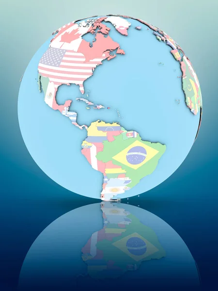
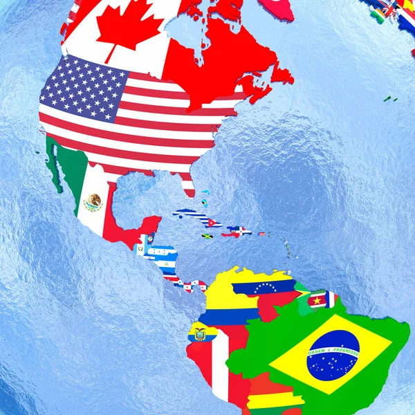
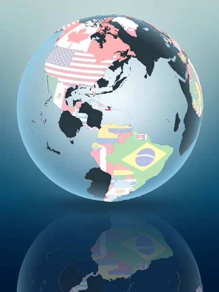
Stock image organization of american states territory on world map

Published: Mar.13, 2018 09:43:50
Author: michal812
Views: 13
Downloads: 0
File type: image / jpg
File size: 8.55 MB
Orginal size: 5000 x 2649 px
Available sizes:
Level: bronze