photo free
Home Images Vectors Videos

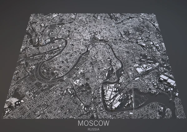
Stock image Oslo, satellite view, map, city, Norway

Stock image Oslo, satellite view, map, city, Norway
Published: Jan.12, 2016 08:25:01
Author: vampy1
Views: 217
Downloads: 1
File type: image / jpg
File size: 10.92 MB
Orginal size: 4724 x 3518 px
Available sizes:
S
(500 x 372)
M
(1000 x 745)
L
(2000 x 1489)
XL
(4724 x 3518)
EL0
(4724 x 3518)
Level: silver
Download Image
Image topics:

Similar stock images

stock image Satellite view of Moscow map

Satellite View Of Moscow Map

4724 × 3333
stock vector Golden printout city poster with panoramic skyline and hand-drawn streets network on yellow and black background of the downtown OSLO, NORWAY

Golden Printout City Poster With Panoramic Skyline And Hand-drawn Streets Network On Yellow And Black Background Of The Downtown OSLO, NORWAY

4080 × 6080
stock vector Brown vintage hand-drawn printout streets network map of the downtown OSLO, NORWAY with brown 3D city skyline and lettering

Brown Vintage Hand-drawn Printout Streets Network Map Of The Downtown OSLO, NORWAY With Brown 3D City Skyline And Lettering

4080 × 6080
stock vector Dark printout city poster with panoramic skyline and hand-drawn streets network on dark gray background of the downtown OSLO, NORWAY

Dark Printout City Poster With Panoramic Skyline And Hand-drawn Streets Network On Dark Gray Background Of The Downtown OSLO, NORWAY

4080 × 6080
stock vector Light printout city poster with panoramic skyline and hand-drawn streets network on vintage beige background of the downtown OSLO, NORWAY

Light Printout City Poster With Panoramic Skyline And Hand-drawn Streets Network On Vintage Beige Background Of The Downtown OSLO, NORWAY

4080 × 6080
stock vector Yellow printout city poster with panoramic skyline and hand-drawn streets network on dark gray background of the downtown OSLO, NORWAY

Yellow Printout City Poster With Panoramic Skyline And Hand-drawn Streets Network On Dark Gray Background Of The Downtown OSLO, NORWAY

4080 × 6080