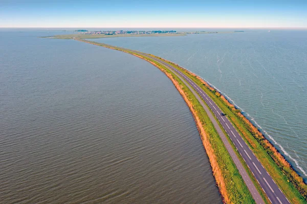
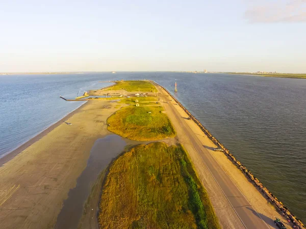
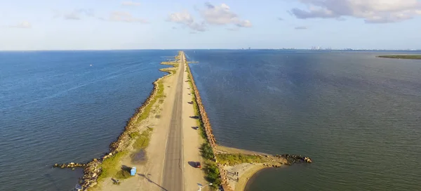
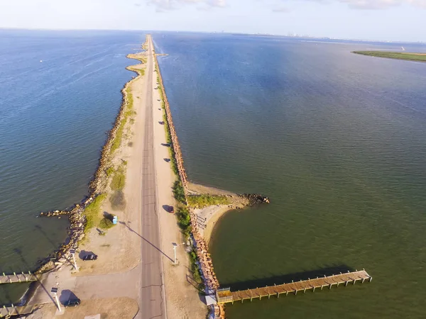
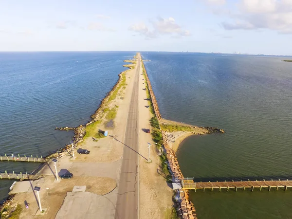
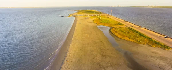
Stock image Panorama aerial view famous Texas City Dike with wooden piers, a levee that project nearly 5miles south-east into mouth of Galveston Bay. Designed to reduce impact of sediment accumulation along bay
Published: Sep.03, 2018 13:22:43
Author: trongnguyen
Views: 10
Downloads: 2
File type: image / jpg
File size: 3.81 MB
Orginal size: 4000 x 1818 px
Available sizes:
Level: bronze
Similar stock images


Aerial View Of The Kalanchatsky Bird Island. An Uninhabited Island In The Black Sea, Ukraine
3953 × 2224