Home
Images
Vectors
Videos
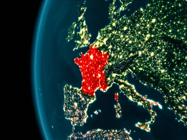
Stock image Physical Europe map illustration. map illustration. Elements of this image furnished by NASA
Published:
Sep.01, 2016 19:11:15
Author:
stori
Views:
65
Downloads:
2
File type:
image
/
jpg
File size:
16.61 MB
Orginal size:
6400
x
3600
px
Available sizes:
S
(500 x 281)
M
(1000 x 563)
L
(2000 x 1125)
XL
(6400 x 3600)
EL0
(6400 x 3600)
Level:
silver
Download Image
Image topics:
White
Blue
Background
Graphic
Illustration
Design
Space
Business
Human
Travel
Nature
Abstract
Silhouette
Border
Global
Physical
Internet
Wallpaper
Education
Earth
Planet
World
American
Italy
Ocean
Science
North
Europe
Globe
Navigation
Map
Geography
Universe
Asia
Navigate
Topography
Cosmos
America
Australia
Planetary
Antarctic
Arctic
Of
India
Continents
Atlas
Mapping
Topographic
Similar stock images
Physical Europe Map Illustration. Map Illustration. Elements Of This Image Furnished By NASA
6400 × 3600
Physical Europe Map Illustration. Map Illustration. Elements Of This Image Furnished By NASA
6400 × 3600
Physical Europe Map Illustration. Map Illustration. Elements Of This Image Furnished By NASA
6400 × 3600
Night View Of Central Europe From Space With Visible City Lights. Very Detailed Plastic Planet Surface. 3D Illustration. Elements Of This Image Furnished By NASA.
5000 × 3750
Western Europe From Space On Planet Earth At Night With Bright City Lights. Detailed Plastic Planet Surface With Real Mountains. 3D Illustration. Elements Of This Image Furnished By NASA.
5000 × 3750
City Lights On World Map. Europe.
5400 × 3600
Vector Beautiful Illustration Of Europe Cities Lights Map
7292 × 4781
Night View Of France
5000 × 3750