Home
Images
Vectors
Videos
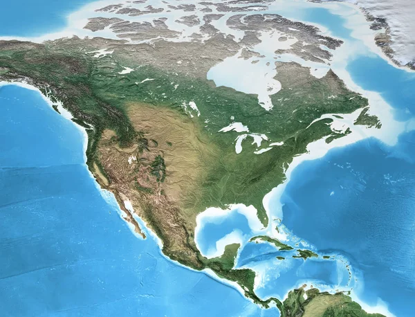
Stock image Physical map of North America, with high resolution details. Flattened satellite view of Planet Earth, its geography and topography. 3D illustration - Elements of this image furnished by NASA
Published:
Mar.22, 2021 18:34:33
Author:
titoOnz
Views:
6
Downloads:
4
File type:
image
/
jpg
File size:
14.66 MB
Orginal size:
7500
x
5736
px
Available sizes:
S
(500 x 382)
M
(1000 x 765)
L
(2000 x 1530)
XL
(7500 x 5736)
EL0
(7500 x 5736)
Level:
silver
Download Image
Image topics:
Large
Illustration
Space
Environment
3d
Global
Flat
Physical
Mountains
Earth
Planet
World
Usa
Textured
Ocean
Surface
Science
Relief
Detailed
North
Country
Realistic
Map
Cartography
Geography
Pacific
Continent
Land
Worldwide
Distant
Topography
Terrain
America
Planisphere
Projection
Canada
Atlantic
Satellite
Altitude
Mexico
Atlas
Mapping
Alaska
Flattened
High Resolution
World Map
North America
Aerial View
United States Of America
Central America
Similar stock images