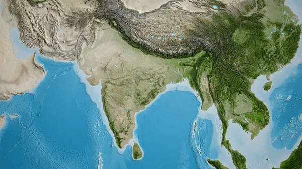
Stock image Physical map of South East Asia, with high resolution details. Flattened satellite view of Planet Earth, its geography and topography. 3D illustration - Elements of this image furnished by NASA

Published: Apr.30, 2021 16:28:10
Author: titoOnz
Views: 81
Downloads: 4
File type: image / jpg
File size: 27.03 MB
Orginal size: 9000 x 9000 px
Available sizes:
Level: silver
Similar stock images

China And Its Neighborhood. Distant Oblique Perspective - Shape Glowed. Satellite Imagery
2880 × 1620
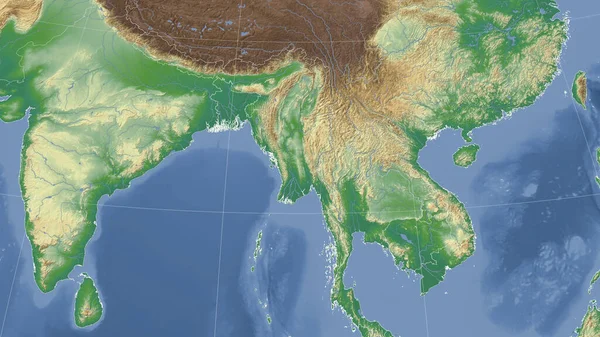
Myanmar And Its Neighborhood. Distant Oblique Perspective - No Outline. Color Physical Map
2880 × 1620
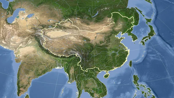
China And Its Neighborhood. Distant Oblique Perspective - Shape Outlined. Satellite Imagery
2880 × 1620