Home
Images
Vectors
Videos
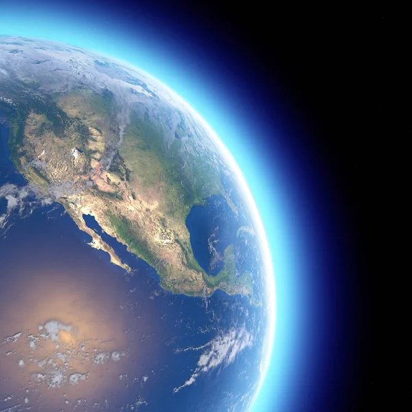
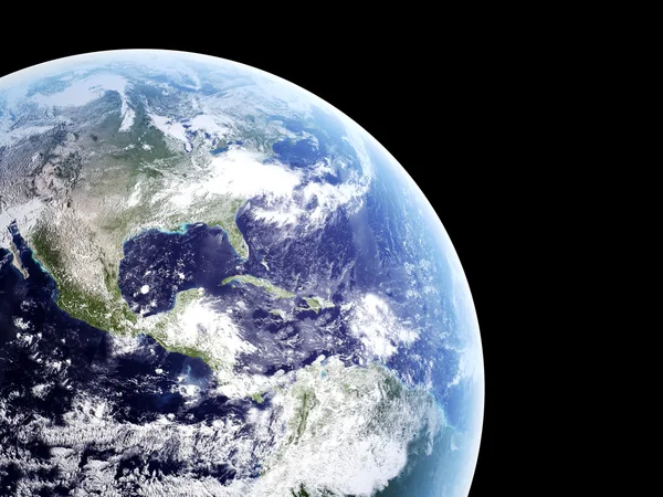
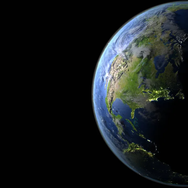
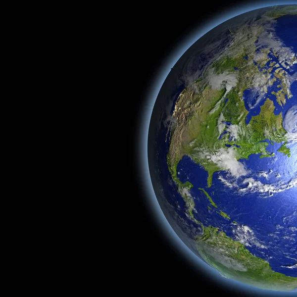
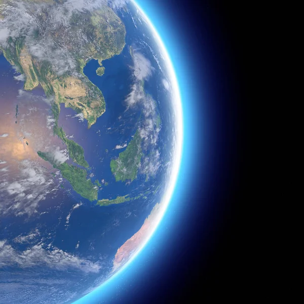
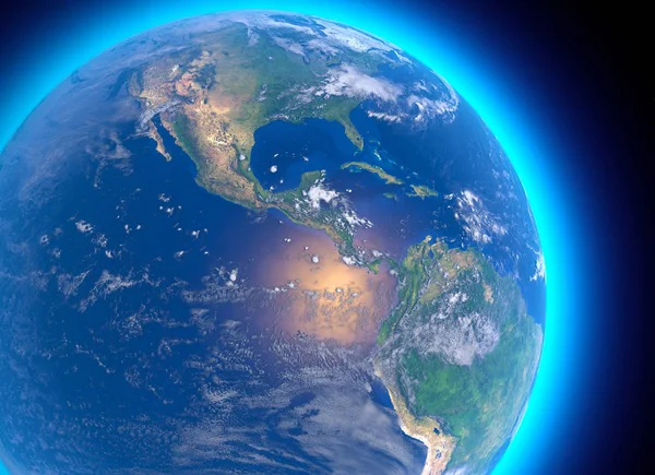
Stock image Physical map of the world, satellite view of central America. Globe. Hemisphere. Reliefs and oceans. 3d rendering. Elements of this image are furnished by NASA
Published:
Jan.30, 2019 09:15:52
Author:
vampy1
Views:
108
Downloads:
2
File type:
image
/
jpg
File size:
11.58 MB
Orginal size:
5511
x
4000
px
Available sizes:
S
(500 x 363)
M
(1000 x 726)
L
(2000 x 1452)
XL
(5511 x 4000)
EL0
(5511 x 4000)
Level:
silver
Download Image
Image topics:
White
Background
Illustration
Isolated
Travel
Sea
Silhouette
Border
Symbol
City
Contour
Earth
American
Ocean
Capital
South
Outline
Country
Map
Cartography
Geography
National
Pacific
Continent
Land
Topography
America
Political
Administrative
States
Region
Latin
Caribbean
Central
Panama
Mexico
Jamaica
Cuba
Costa
Salvador
Colombia
Belize
Guatemala
Honduras
Nicaragua
Rica
3d Rendering
Costa Rica
Central America
Satellite View
Similar stock images
Physical Map Of The World, Satellite View Of Southeast Asia, Indonesia. Globe. Hemisphere. Reliefs And Oceans. 3d Rendering. Element Of This Image Are Furnished By NASA
5511 × 4000
Physical Map Of The World, Satellite View Of India. Asia. Globe. Hemisphere. Reliefs And Oceans. 3d Rendering. Elements Of This Image Are Furnished By NASA
5511 × 4000
Physical Map Of The World, Satellite View Of North And Central America. Globe. Hemisphere. Reliefs And Oceans. 3d Rendering. Elements Of This Image Are Furnished By NASA
5511 × 5511
Earth - Isolated On Black
4000 × 3000
Clouds Atmosphere From Space With View On America - Elements Of
2450 × 2415
North America From Orbit
5000 × 5000
North America From Space
5000 × 5000
Physical Map Of The World, Satellite View Of Southeast Asia, Indonesia. Globe. Hemisphere. Reliefs And Oceans. 3d Rendering. Element Of This Image Are Furnished By NASA
5511 × 5511