Home
Images
Vectors
Videos
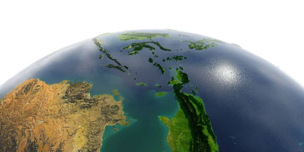
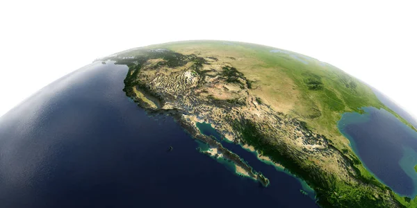
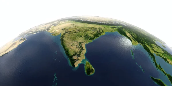
Stock image Physical map of the world, satellite view of Europe and North Africa. Night view. City lights. Globe. Hemisphere. Reliefs and oceans. 3d rendering. Elements of this image are furnished by NASA
Published:
Jan.04, 2023 09:51:10
Author:
vampy1
Views:
48
Downloads:
6
File type:
image
/
jpg
File size:
15.28 MB
Orginal size:
4822
x
3444
px
Available sizes:
S
(500 x 357)
M
(1000 x 714)
L
(2000 x 1428)
XL
(4822 x 3444)
EL0
(4822 x 3444)
Level:
silver
Download Image
Image topics:
Green
Blue
Background
Graphic
Colored
Illustration
Shape
Sea
European
Road
City
Physical
Contour
Earth
World
Italy
France
Ocean
Relief
Detailed
Sweden
Scandinavia
Europe
Globe
Russia
Country
Map
Cartography
Geography
Africa
Continent
Germany
Land
Mediterranean
Spain
Uk
Asia
Greece
Topography
Terrain
Atlantic
Denmark
Finland
Atlas
Norway
Shaded
Topographic
3d Rendering
United Kingdom
Similar stock images
Europe Geography White Isolated
3500 × 3500
Detailed Earth On White Background. Southeast Asia. Indonesia
8000 × 4000
Earth Map White Isolated
3500 × 3500
Computer Generated Earth Connection In Outer Space. Close-up Of A Spinning Planet With Neon Connecting Beams. 3d Rendering Of Elements Of This Image Are Presented By NASA
3840 × 2160
Detailed Earth On White Background. Gulf Of California, Mexico A
8000 × 4000
Detailed Earth On White Background. India And Sri Lanka
8000 × 4000
Earth White Isolated
3500 × 3500
Detailed Earth On White Background. North Africa. Algeria, Moroc
8000 × 4000