photo free
Home Images Vectors Videos

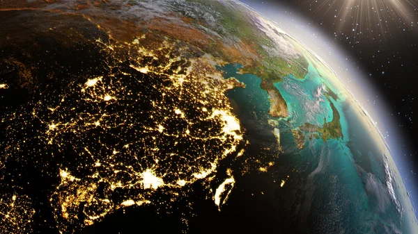
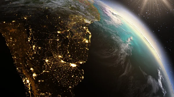
Stock image Planet Earth East Asia zone using satellite imagery NASA

Stock image Planet Earth East Asia zone using satellite imagery NASA
Published: Jul.13, 2015 09:47:21
Author: rakchai
Views: 186
Downloads: 7
File type: image / jpg
File size: 5.83 MB
Orginal size: 4096 x 2304 px
Available sizes:
S
(500 x 281)
M
(1000 x 563)
L
(2000 x 1125)
XL
(4096 x 2304)
EL0
(4096 x 2304)
Level: bronze
Download Image
Image topics:

Similar stock images

stock image Planet Earth night and sunrise. using satellite imagery NASA

Planet Earth Night And Sunrise. Using Satellite Imagery NASA

4096 × 2304
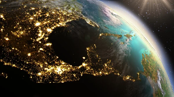
stock image Planet Earth Central America zone using satellite imagery NASA

Planet Earth Central America Zone Using Satellite Imagery NASA

4096 × 2304
stock image Planet Earth West Asia zone using satellite imagery NASA

Planet Earth West Asia Zone Using Satellite Imagery NASA

4096 × 2304
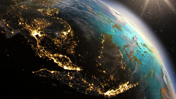
stock image Planet Earth South East Asia zone using satellite imagery NASA

Planet Earth South East Asia Zone Using Satellite Imagery NASA

4096 × 2304
stock image Earth from Space. Best Internet Concept of global business from concepts series. Elements of this image furnished by NASA. 3D illustration

Earth From Space. Best Internet Concept Of Global Business From Concepts Series. Elements Of This Image Furnished By NASA. 3D Illustration

7000 × 5000
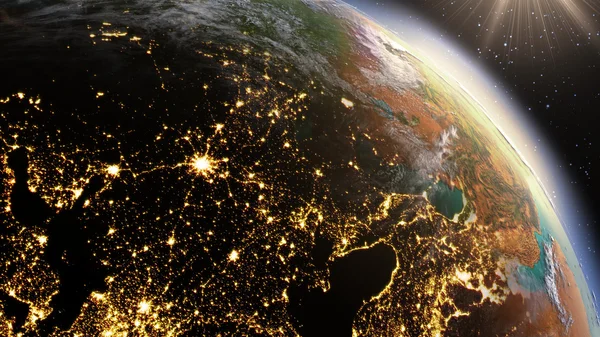
stock image Planet Earth Europe zone using satellite imagery NASA

Planet Earth Europe Zone Using Satellite Imagery NASA

4096 × 2304
stock image Planet earth with realistic geography surface and orbital 3D cloud atmosphere

Planet Earth With Realistic Geography Surface And Orbital 3D Cloud Atmosphere

3840 × 2160
stock image Planet Earth South America zone using satellite imagery NASA

Planet Earth South America Zone Using Satellite Imagery NASA

4096 × 2304