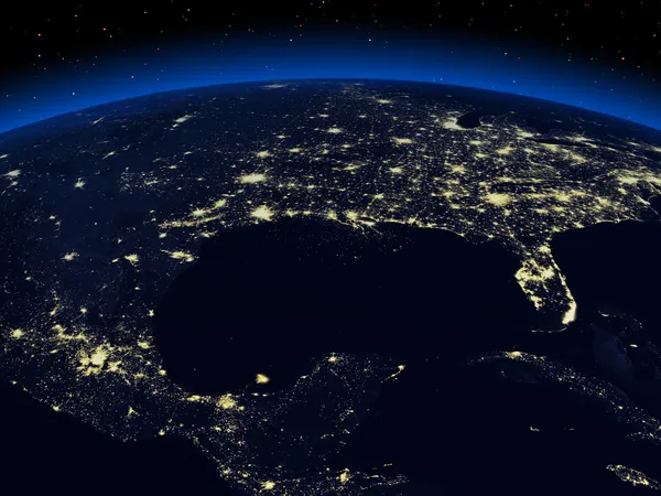
Stock image Planet Earth North America zone using satellite imagery NASA

Published: Jul.13, 2015 09:47:21
Author: rakchai
Views: 249
Downloads: 9
File type: image / jpg
File size: 6.47 MB
Orginal size: 4096 x 2304 px
Available sizes:
Level: bronze