Home
Images
Vectors
Videos
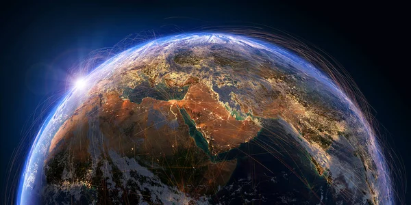
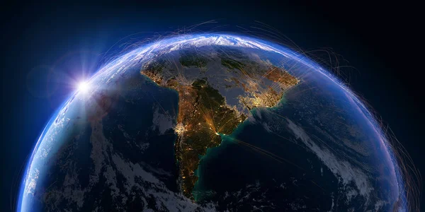
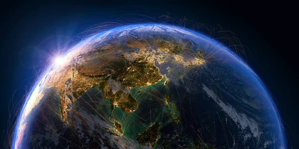
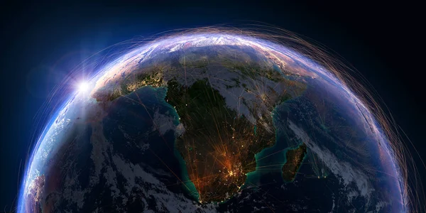
Stock image Planet Earth with detailed relief and atmosphere is covered with a network of air routes based on real data. South Africa and Madagascar. 3D rendering. Elements of this image furnished by NASA
Published:
Jan.02, 2019 15:44:49
Author:
Antartis
Views:
16
Downloads:
1
File type:
image
/
jpg
File size:
21.99 MB
Orginal size:
10000
x
5000
px
Available sizes:
S
(500 x 250)
M
(1000 x 500)
L
(2000 x 1000)
XL
(10000 x 5000)
EL0
(10000 x 5000)
Level:
silver
Download Image
Image topics:
Space
Business
Travel
Nature
Air
Transport
Transportation
Connection
Technology
Transfer
Traffic
Concept
Communication
Global
Network
Internet
Earth
Planet
World
Clouds
Metaphor
Ocean
Tourism
Science
Relief
Route
Track
Globe
Atmosphere
South
Trail
Journey
Map
Geography
Africa
Continent
Land
Flight
Aircraft
Navigate
Orbit
Airline
International
Logistics
Coverage
Madagascar
Trajectory
Johannesburg
3d Illustration
Similar stock images
Planet Earth With Detailed Relief And Atmosphere Is Covered With A Network Of Air Routes Based On Real Data. Middle East. 3D Rendering. Elements Of This Image Furnished By NASA
10000 × 5000
Detailed Air Routes On Earth. 3D Rendering
10000 × 5000
Planet Earth With Detailed Relief And Atmosphere Is Covered With A Network Of Air Routes Based On Real Data. South America. 3D Rendering. Elements Of This Image Furnished By NASA
10000 × 5000
Planet Earth With Detailed Relief And Atmosphere Is Covered With A Network Of Air Routes Based On Real Data. Pacific Ocean. 3D Rendering. Elements Of This Image Furnished By NASA
10000 × 5000
Planet Earth With Detailed Relief And Atmosphere Is Covered With A Network Of Air Routes Based On Real Data. Europe. 3D Rendering. Elements Of This Image Furnished By NASA
10000 × 5000
Planet Earth With Detailed Relief And Atmosphere Is Covered With A Network Of Air Routes Based On Real Data. Pacific Ocean. Indonesia. 3D Rendering. Elements Of This Image Furnished By NASA
10000 × 5000
Planet Earth With Detailed Relief And Atmosphere Is Covered With A Network Of Air Routes Based On Real Data. Asian Countries. 3D Rendering. Elements Of This Image Furnished By NASA
10000 × 5000
City Lights Australia And New Zealand
5000 × 2500