Home
Images
Vectors
Videos
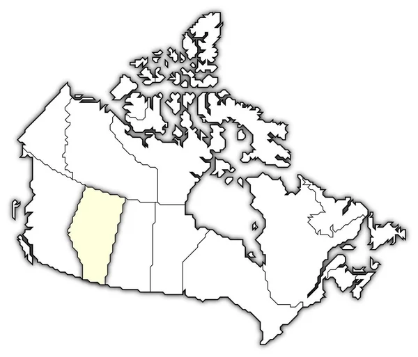
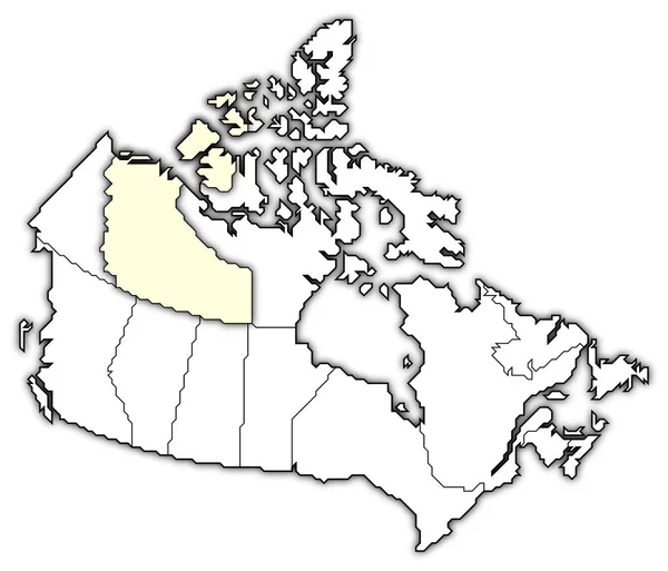
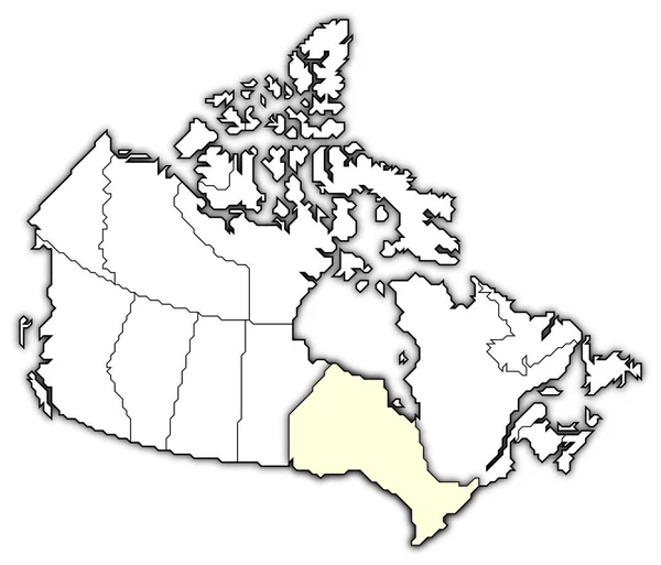
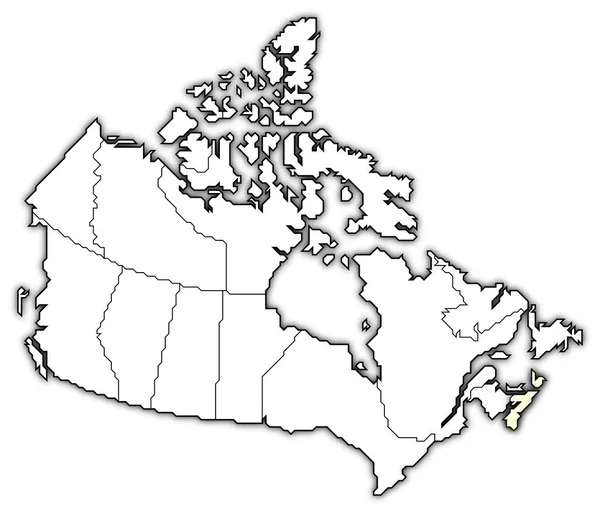
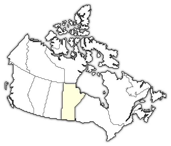
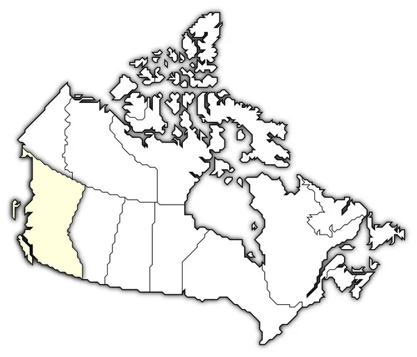
Stock image Political map of Canada with the several provinces where British Columbia is highlighted.
Published:
Apr.15, 2020 13:12:36
Author:
PantherMediaSeller
Views:
4
Downloads:
0
File type:
image
/
jpg
File size:
0 MB
Orginal size:
6575
x
5630
px
Available sizes:
S
(500 x 428)
M
(1000 x 856)
L
(2000 x 1713)
XL
(6575 x 5630)
EL0
(6575 x 5630)
Level:
platinum
Download Image
Image topics:
Graphic
Illustration
Black
Border
3d
Contour
Highlight
Education
Earth
Planet
World
Globe
Country
Cartography
Geography
Area
Land
Topography
America
Countries
Borders
Political
Canada
Geographic
Frontier
Atlas
Highlighted
Americas
Contours
Geographical
Areas
Grenze
Grenzen
Grafik
Amerika
Kanada
Geografie
Hervorgehoben
British Columbia
Grenzlinie
General Maps
Hervorheben
Grenzlinien
Similar stock images
Political Map Of Canada With The Several Provinces Where Saskatchewan Is Highlighted.
6575 × 5630
Political Map Of Canada With The Several Provinces Where Alberta Is Highlighted.
6575 × 5630
Political Map Of Canada With The Several Provinces Where Northwest Territories Is Highlighted.
6575 × 5630
Political Map Of Canada With The Several Provinces Where Ontario Is Highlighted.
6575 × 5630
Political Map Of Canada With The Several Provinces Where Yukon Is Highlighted.
6575 × 5630
Political Map Of Canada With The Several Provinces Where Nunavut Is Highlighted.
6575 × 5630
Political Map Of Canada With The Several Provinces Where Nova Scotia Is Highlighted.
6575 × 5630
Political Map Of Canada With The Several Provinces Where Manitoba Is Highlighted.
6575 × 5630