photo free
Home Images Vectors Videos

Stock image Political map of Canada with the several provinces where Saskatchewan is highlighted.
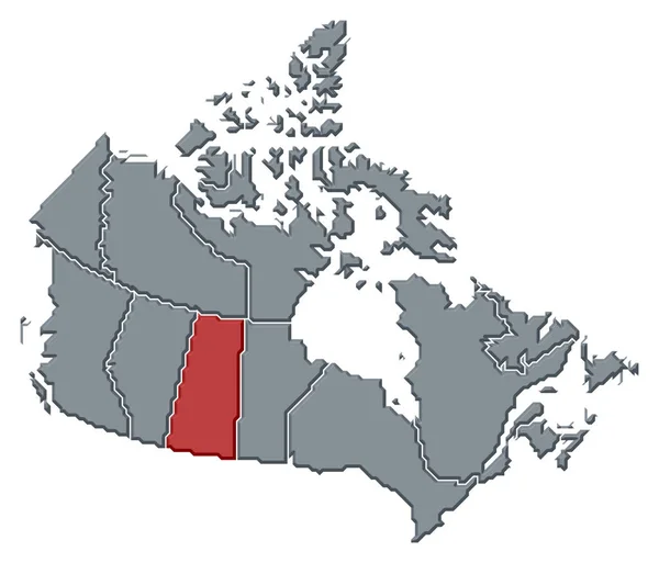
Stock image Political map of Canada with the several provinces where Saskatchewan is highlighted.
Published: Apr.15, 2020 13:12:36
Author: PantherMediaSeller
Views: 1
Downloads: 0
File type: image / jpg
File size: 0 MB
Orginal size: 6575 x 5630 px
Available sizes:
S
(500 x 428)
M
(1000 x 856)
L
(2000 x 1713)
XL
(6575 x 5630)
EL0
(6575 x 5630)
Level: platinum
Download Image
Image topics:

Similar stock images

stock image Political map of Canada with the several provinces where Alberta is highlighted.

Political Map Of Canada With The Several Provinces Where Alberta Is Highlighted.

6575 × 5630
stock image Political map of Canada with the several provinces where Manitoba is highlighted.

Political Map Of Canada With The Several Provinces Where Manitoba Is Highlighted.

6575 × 5630
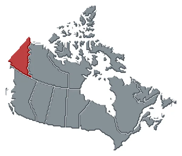
stock image Political map of Canada with the several provinces where Yukon is highlighted.

Political Map Of Canada With The Several Provinces Where Yukon Is Highlighted.

6575 × 5630
stock image Political map of Canada with the several provinces where British Columbia is highlighted.

Political Map Of Canada With The Several Provinces Where British Columbia Is Highlighted.

6575 × 5630
stock image Political map of Canada with the several provinces where Ontario is highlighted.

Political Map Of Canada With The Several Provinces Where Ontario Is Highlighted.

6575 × 5630
stock image 3d Render of Canada Highlighting Saskatchewan

3d Render Of Canada Highlighting Saskatchewan

5565 × 4300
stock image Political map of Canada with the several provinces where Northwest Territories is highlighted.

Political Map Of Canada With The Several Provinces Where Northwest Territories Is Highlighted.

6575 × 5630
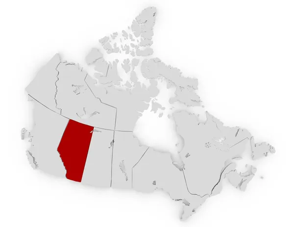
stock image 3d Render of Canada Highlighting Alberta

3d Render Of Canada Highlighting Alberta

5565 × 4300