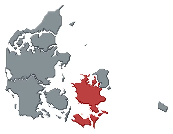
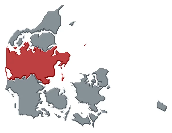
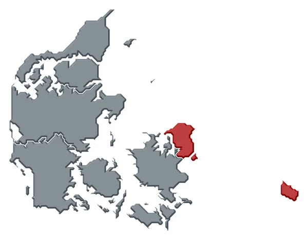
Stock image Political map of Danmark with the several regions where Capital Region is highlighted.
Published: Apr.16, 2020 14:52:01
Author: PantherMediaSeller
Views: 3
Downloads: 0
File type: image / jpg
File size: 0 MB
Orginal size: 6614 x 5157 px
Available sizes:
Level: platinum