Home
Images
Vectors
Videos
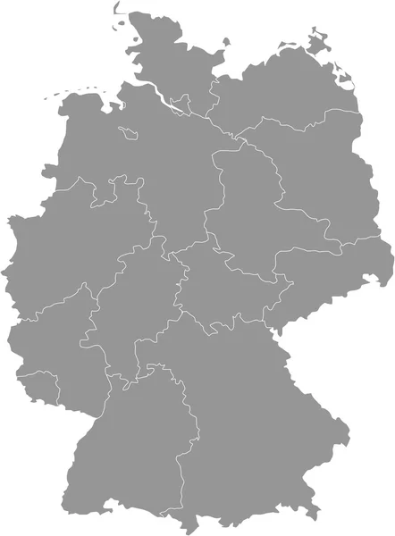
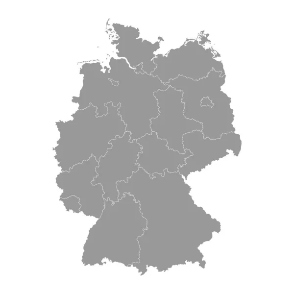
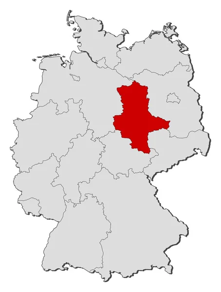
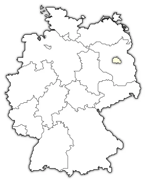
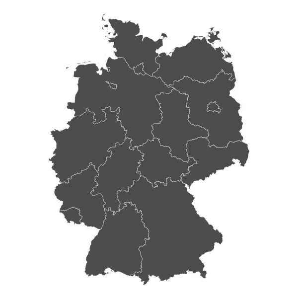
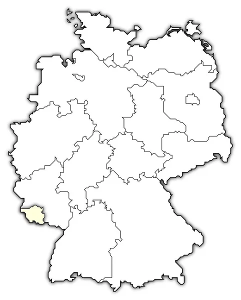
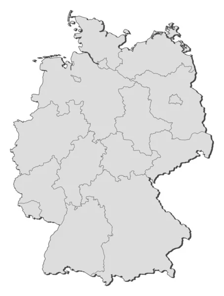
Stock image Political map of Germany with the several states.
Published:
Apr.17, 2020 15:16:02
Author:
PantherMediaSeller
Views:
6
Downloads:
0
File type:
image
/
jpg
File size:
0 MB
Orginal size:
5088
x
6723
px
Available sizes:
S
(378 x 500)
M
(757 x 1000)
L
(1514 x 2000)
XL
(5088 x 6723)
EL0
(5088 x 6723)
Level:
platinum
Download Image
Image topics:
Colours
Color
Colors
Background
Colorful
Colored
Art
Abstract
Colour
Colourful
Black
Border
Card
3d
Concept
Communication
Contour
Earth
Brick
Europe
Country
Cartography
Area
Continent
Bricks
Coloured
Countries
Borders
Europa
Bundesrepublik
Deutschland
Atlas
Deutsch
Contours
Deutsche
Abstrakt
Deutscher
Areas
Bunt
Farbe
Erde
Brd
Deutschlandkarte
Einfach
Dreidimensional
Bundesland
Bundesländer
Blickwinkel
Bundeslaender
Einteilung
Similar stock images
Germany Map - Provinces Gray
4724 × 6240
Map Of Germany
6384 × 8659
Germany Grey Map With Regions. Vector Illustration.
4000 × 4000
Political Map Of Germany With The Several States Where Saxony-Anhalt Is Highlighted.
5088 × 6723
Political Map Of Germany With The Several States Where Berlin Is Highlighted.
5512 × 6850
Germany Map. Stock Vector Illustration
5000 × 5000
Political Map Of Germany With The Several States Where Saarland Is Highlighted.
5512 × 6850