Home
Images
Vectors
Videos
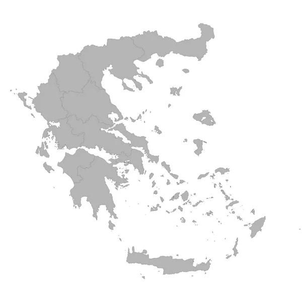
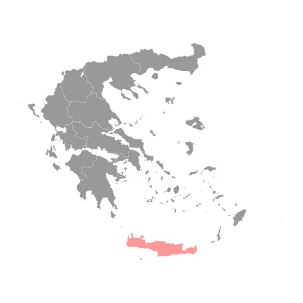
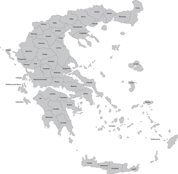
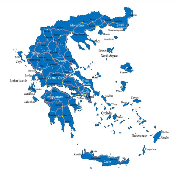
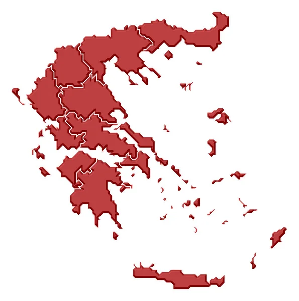
Stock image Political map of Greece with the several states.
Published:
Mar.10, 2020 11:22:55
Author:
PantherMediaSeller
Views:
4
Downloads:
0
File type:
image
/
jpg
File size:
0 MB
Orginal size:
5236
x
5276
px
Available sizes:
S
(496 x 500)
M
(992 x 1000)
L
(1985 x 2000)
XL
(5236 x 5276)
EL0
(5236 x 5276)
Level:
platinum
Download Image
Image topics:
Colours
Color
Colors
Colorful
Graphic
Colored
Colour
Colourful
Border
3d
Gray
Contour
Europe
Country
Cartography
Geography
Area
General
Coloured
Countries
Borders
Europa
Frontier
Atlas
Contours
Areas
Ellas
Grau
Bunt
Frontiers
Farbig
Grafik
FARBEN
Farbe
Fläche
Einfach
Dreidimensional
Geografie
Gebiet
Bundesland
Bundesländer
Ellada
Bundeslaender
General Map
General Maps
Flaeche
Einteilung
Flächen
Gebiete
Flaechen
Similar stock images
Greece - Map Of Decentralized Administrations
8000 × 8000
Greece Map Orange Separate Region Individual Names Raster
4000 × 3405
Greece Regions Map Grey
5000 × 5072
High Quality Map Of Greece With Borders Of The Regions On White Background
4000 × 4000
Crete Region Map, Administrative Region Of Greece. Vector Illustration.
8334 × 8334
Greece Administrative Map Isolated On White Background
5000 × 5000
Grey Greece Map
6888 × 6760
Highly Detailed Vector Map Of Greece With Main Cities,regions And Roads.
7489 × 7339