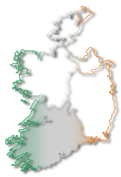
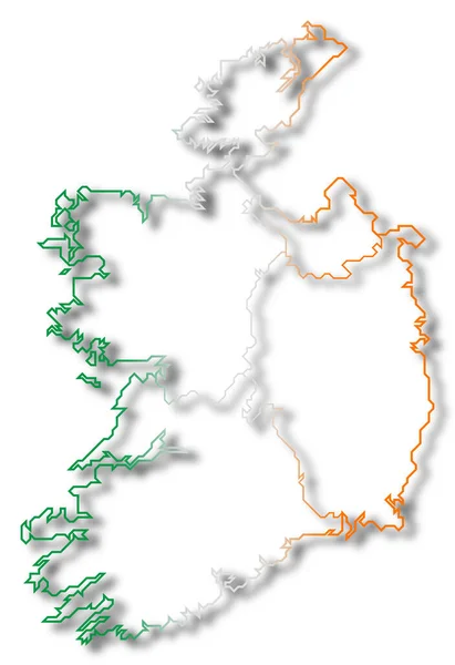
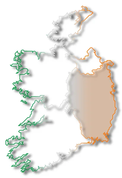
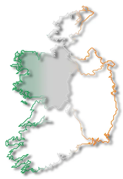
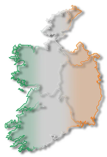
Stock image Political map of Ireland with the several provinces where Ulster is highlighted.
Published: Mar.16, 2020 16:20:08
Author: PantherMediaSeller
Views: 0
Downloads: 0
File type: image / jpg
File size: 0 MB
Orginal size: 4134 x 6024 px
Available sizes:
Level: platinum