Home
Images
Vectors
Videos
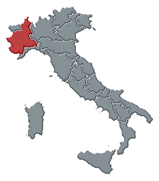
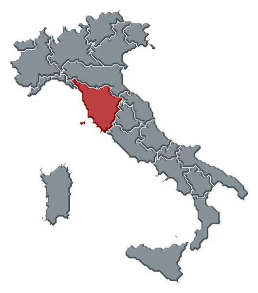
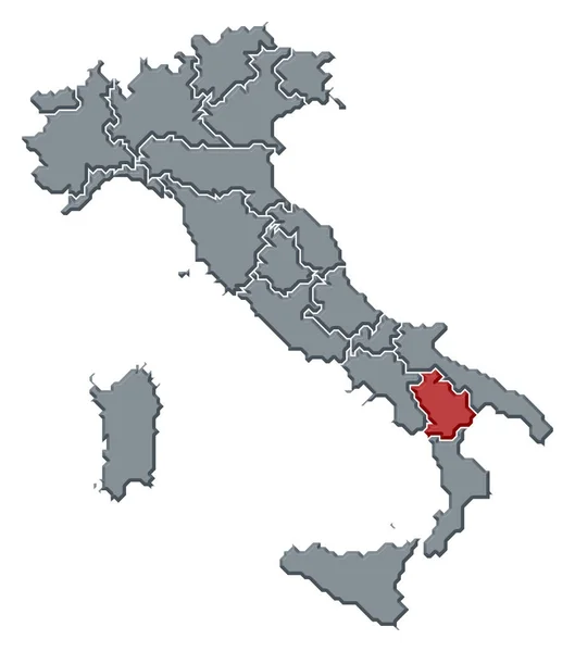
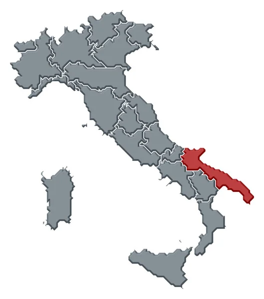
Stock image Political map of Italy with the several regions
Published:
Jul.02, 2020 09:46:56
Author:
PantherMediaSeller
Views:
11
Downloads:
0
File type:
image
/
jpg
File size:
0 MB
Orginal size:
5354
x
6063
px
Available sizes:
S
(442 x 500)
M
(883 x 1000)
L
(1766 x 2000)
XL
(5354 x 6063)
EL0
(5354 x 6063)
Level:
platinum
Download Image
Image topics:
Colours
Color
Colors
Colorful
Graphic
Colored
Illustration
Colour
Colourful
Border
3d
Contour
Education
Earth
Planet
World
Europe
Globe
Country
Cartography
Geography
Area
Land
Coloured
Topography
Countries
Borders
Political
Geographic
Europa
Frontier
Atlas
Contours
Geographical
Areas
Grau
Bunt
Grafik
Geografie
Alto Adige
General Maps
Similar stock images
Political Map Of Italy With The Several Regions Where Piemont Is Highlighted.
5354 × 6063
Political Map Of Italy With The Several Regions Where Lombardy Is Highlighted.
5354 × 6063
Political Map Of Italy With The Several Regions Where Tuscany Is Highlighted.
5354 × 6063
Political Map Of Italy With The Several Regions Where Basilicata Is Highlighted.
5354 × 6063
Political Map Of Italy With The Several Regions Where Apulia Is Highlighted.
5354 × 6063
Political Map Of Italy With The Several Regions Where Campania Is Highlighted.
5354 × 6063
Political Map Of Italy With The Several Regions Where Friuli-Venezia Giulia Is Highlighted.
5354 × 6063
Political Map Of Italy With The Several Regions Where Sicily Is Highlighted.
5354 × 6063