Home
Images
Vectors
Videos
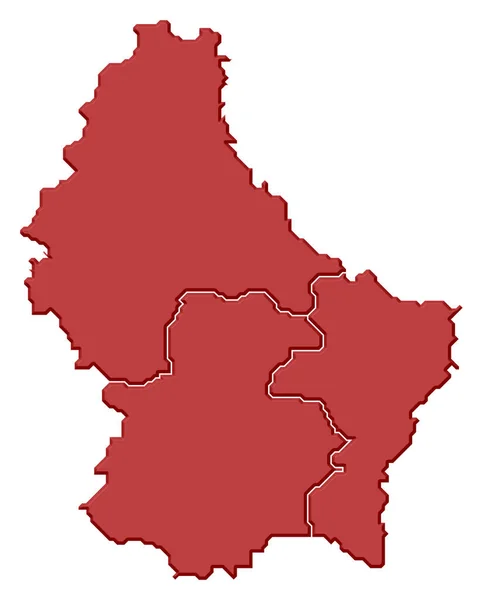
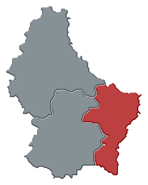
Stock image Political map of Luxembourg with the several Districts.
Published:
Mar.12, 2020 11:33:42
Author:
PantherMediaSeller
Views:
4
Downloads:
0
File type:
image
/
jpg
File size:
0 MB
Orginal size:
4882
x
6063
px
Available sizes:
S
(403 x 500)
M
(805 x 1000)
L
(1610 x 2000)
XL
(4882 x 6063)
EL0
(4882 x 6063)
Level:
platinum
Download Image
Image topics:
Colours
Color
Colors
Colorful
Graphic
Colored
Colour
Colourful
Border
3d
Gray
Contour
Europe
Country
Cartography
Geography
Area
General
Coloured
Countries
Borders
Europa
Frontier
Atlas
Contours
Areas
Grau
Bunt
Grenze
Grenzen
Frontiers
Farbig
Grafik
FARBEN
Farbe
Fläche
Einfach
Dreidimensional
Geografie
Gebiet
Bundesland
Bundesländer
Bundeslaender
General Map
General Maps
Flaeche
Einteilung
Flächen
Gebiete
Flaechen
Similar stock images
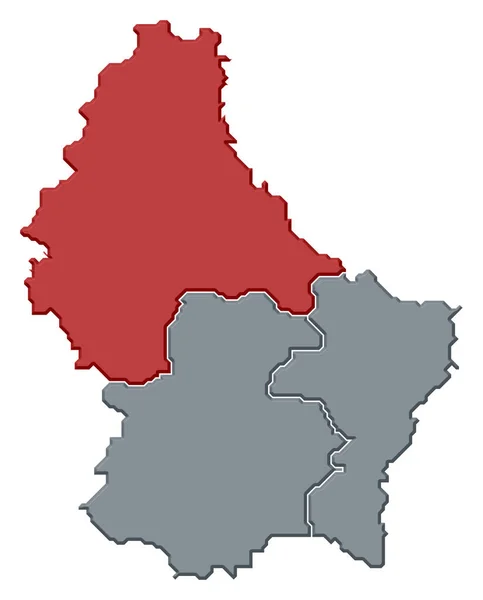
Political Map Of Luxembourg With The Several Districts Where The District Luxemburg Is Highlighted.
4882 × 6063
Political Map Of Luxembourg With The Several Districts Where Diekirch Is Highlighted.
4882 × 6063
Political Map Of Luxembourg With The Several Districts.
4882 × 6063
Political Map Of Luxembourg With The Several Districts Where Grevenmacher Is Highlighted.
4882 × 6063
Map Of Luxembourg
4000 × 5000
Luxembourg 3d Map With National Color
2476 × 2024
RED CMYK Color Detailed Flat Stencil Map Of The European Country Of LUXEMBOURG On Transparent Background
4050 × 5800
RED CMYK Color Detailed Flat Stencil Map Of The European Country Of BELARUS On Transparent Background
5300 × 4578