Home
Images
Vectors
Videos
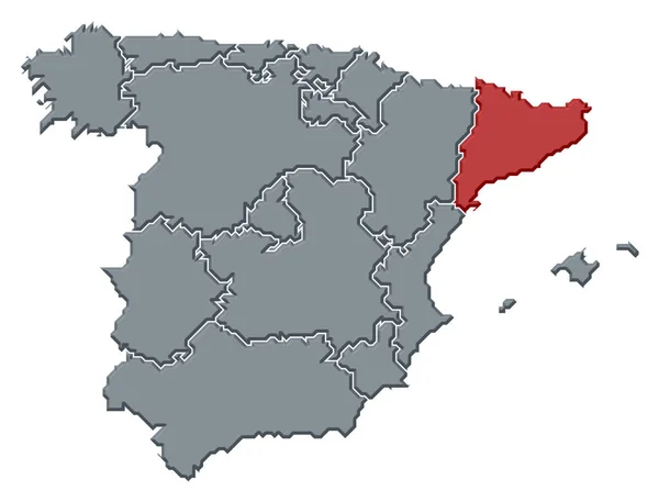
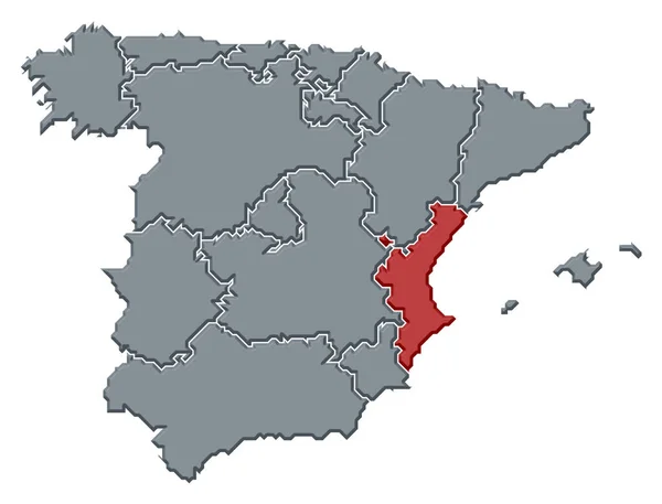
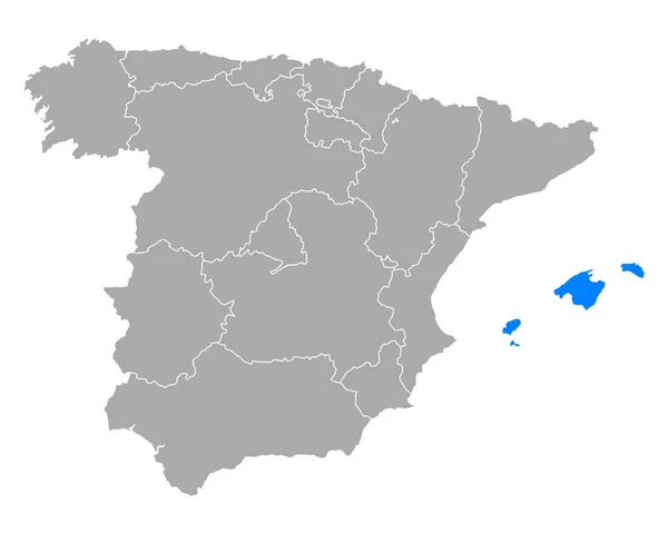
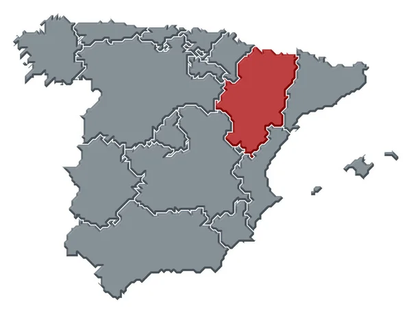
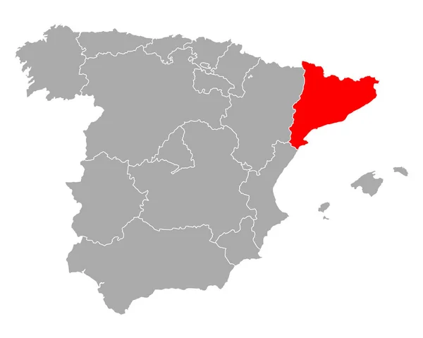
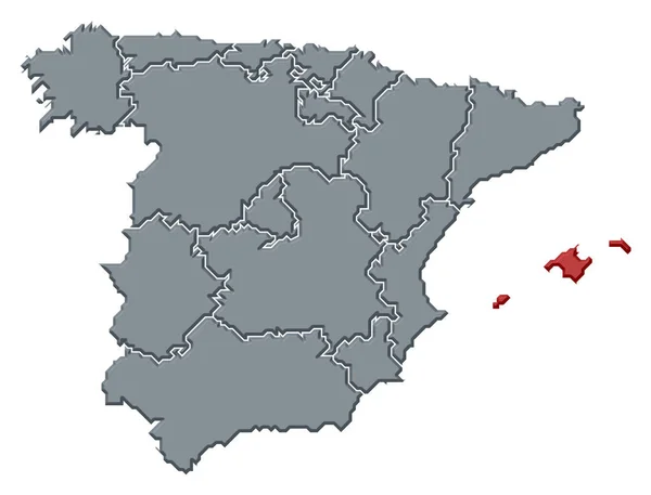
Stock image Political map of Spain with the several regions where the Balearic Islands are highlighted.
Published:
Mar.13, 2020 09:22:42
Author:
PantherMediaSeller
Views:
2
Downloads:
0
File type:
image
/
jpg
File size:
0 MB
Orginal size:
6614
x
5039
px
Available sizes:
S
(500 x 381)
M
(1000 x 762)
L
(2000 x 1524)
XL
(6614 x 5039)
EL0
(6614 x 5039)
Level:
platinum
Download Image
Image topics:
Colours
Color
Colors
Colorful
Graphic
Colored
Colour
Colourful
Border
3d
Contour
Europe
Country
Cartography
Geography
Area
General
Coloured
Countries
Borders
Europa
Frontier
Atlas
Emphasize
Contours
Espana
Areas
Bunt
Frontiers
Farbig
Grafik
FARBEN
Farbe
Fläche
Einfach
Dreidimensional
Geografie
Gebiet
Bundesland
Bundesländer
Balearen
Bundeslaender
Balearic Islands
General Map
General Maps
Flaeche
Einteilung
Flächen
Gebiete
Flaechen
Similar stock images
Political Map Of Spain With The Several Regions Where Catalonia Is Highlighted.
6614 × 5039
Map Of Balearic Islands In Spain
5000 × 4000
Political Map Of Spain With The Several Regions Where The Valencian Community Is Highlighted.
6614 × 5039
Political Map Of Spain With The Several Regions Where Murcia Is Highlighted.
6614 × 5039
Map Of Balearic Islands In Spain
5000 × 4000
Map Of Balearic Islands In Spain
5000 × 4000
Political Map Of Spain With The Several Regions Where Aragon Is Highlighted.
6614 × 5039
Map Of Catalonia In Spain
5000 × 4000