Home
Images
Vectors
Videos
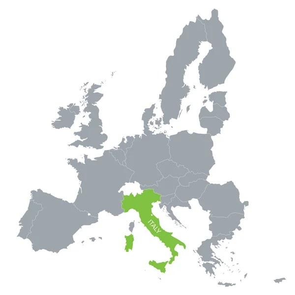
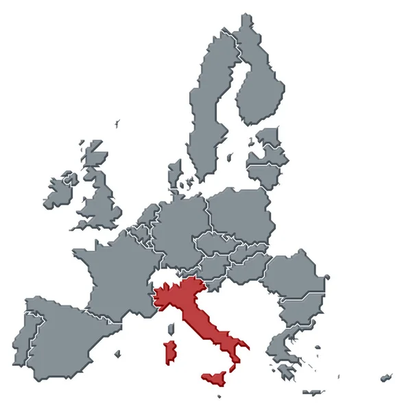
Stock image Political map of the European Union with the several states where Italy is highlighted.
Published:
Mar.17, 2020 09:41:53
Author:
PantherMediaSeller
Views:
3
Downloads:
0
File type:
image
/
jpg
File size:
0 MB
Orginal size:
6772
x
6850
px
Available sizes:
S
(494 x 500)
M
(989 x 1000)
L
(1977 x 2000)
XL
(6772 x 6850)
EL0
(6772 x 6850)
Level:
platinum
Download Image
Image topics:
Colours
Color
Colors
Colorful
Colored
Colour
Colourful
Border
3d
Contour
Europe
Country
Cartography
Geography
Area
General
Coloured
Countries
Borders
Europa
Eu
Frontier
Atlas
Emphasize
Contours
Areas
Bunt
Frontiers
Farbig
FARBEN
Farbe
Fläche
Einfach
Dreidimensional
Geografie
Gebiet
Bundesland
Bundesländer
European Union
Bundeslaender
General Map
General Maps
Flaeche
Einteilung
Europaeische Union
Flächen
Gebiete
Flaechen
EUKarte
Similar stock images
Map Of European Union With The Indication Of Italy
4000 × 4001
Isolated Italy Map Design
5315 × 5315
Map Of European Union With The Location Of Italy
4000 × 4001
Italy Country Location Within Europe 3d Isometric Map
4000 × 4000
Italy Marked By Blue In Grey Political Map Of Europe. Vector Illustration
6000 × 6000
Italy
7658 × 6813
Italy On Political 3D Globe. 3D Illustration.
5000 × 3750