Home
Images
Vectors
Videos
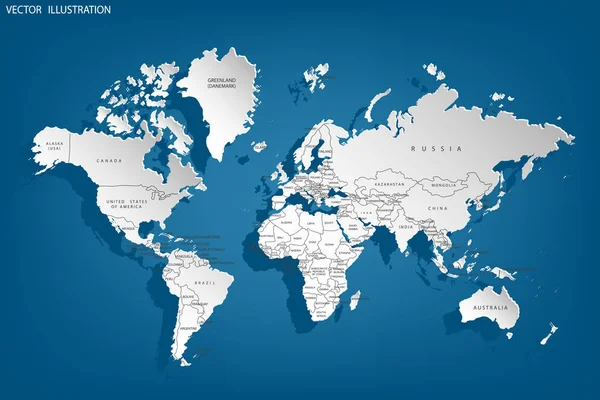
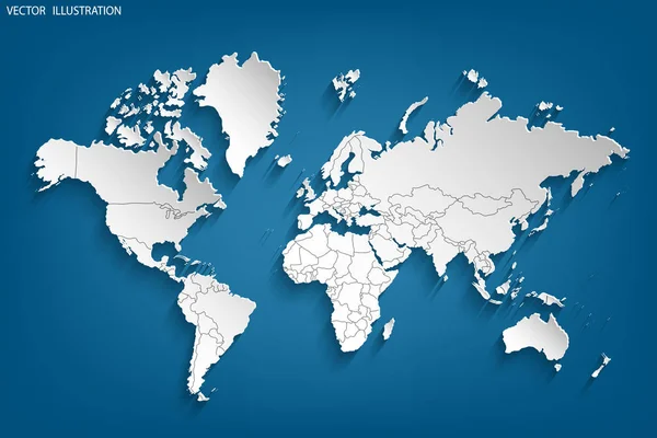
Stock image Political map of the world. Gray world map-countries. Illustration
Published:
Jan.30, 2020 12:05:08
Author:
lulechkay
Views:
59
Downloads:
2
File type:
image
/
jpg
File size:
1.69 MB
Orginal size:
3125
x
2083
px
Available sizes:
S
(500 x 333)
M
(1000 x 667)
L
(2000 x 1333)
XL
(3125 x 2083)
EL0
(3125 x 2083)
Level:
beginner
Download Image
Image topics:
White
Blue
Backgrounds
Graphic
Illustration
Paper
Business
Art
Travel
Abstract
Gray
Symbol
Elements
Icon
Global
Education
Earth
Planet
World
Usa
Digitally
Ocean
Science
Detailed
North
Europe
Globe
East
South
Country
West
Map
Cartography
Geography
Africa
Continent
Land
Worldwide
Asia
America
International
Australia
Borders
Politic
Political
Official
Atlas
Hemisphere
Capitals
Similar stock images
Political Map Of The World. Gray World Map-countries. Illustration
3125 × 2083
Political Map Of The World. Gray World Map-countries. Illustration
3125 × 2083
Political Map Of The World. Gray World Map-countries. Illustration
3125 × 2083
World Map. White. World Map Paper. Grey. Illustration
6250 × 4167
World Map Paper. Political Map Of The World On A Gray Background. Countries.
3125 × 2083
World Map. Red. Illustration
6250 × 4167
World Map Paper. Political Map Of The World On A Gray Background. Countries.
3125 × 2083
World Map. White. World Map Paper. Grey. Illustration
6250 × 4167