Home
Images
Vectors
Videos
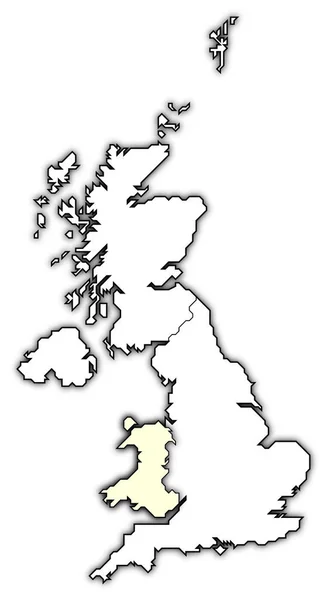
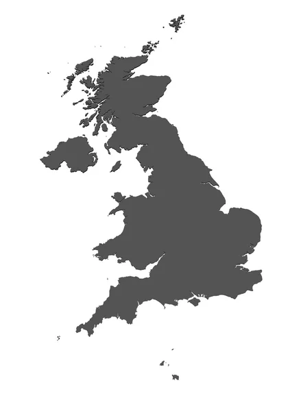
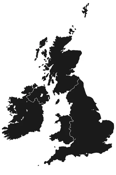
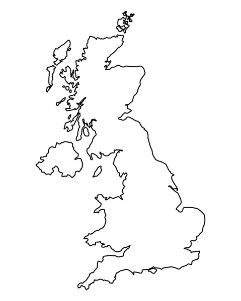
Stock image political map of united kingdom with the several countries.
Published:
Mar.12, 2020 11:26:18
Author:
PantherMediaSeller
Views:
9
Downloads:
0
File type:
image
/
jpg
File size:
0 MB
Orginal size:
3740
x
6850
px
Available sizes:
S
(273 x 500)
M
(546 x 1000)
L
(1092 x 2000)
XL
(3740 x 6850)
EL0
(3740 x 6850)
Level:
platinum
Download Image
Image topics:
Graphic
Design
Bright
Model
Pattern
Black
Border
Card
Concept
Pale
Flat
Plain
Project
Europe
Profile
Draft
Outline
Country
Map
Cartography
Geography
Plan
Area
Land
Ground
Graduation
General
Countries
Borders
Politic
Political
Of
Pictogram
Kingdom
Britain
Plans
Administration
England
Frontier
Maps
Atlas
Borderline
Pictograph
Outlines
Profiles
Awning
Areas
Map Of The World
Jetblack
Similar stock images
Political Map Of United Kingdom With The Several Countries Where Wales Is Highlighted.
3740 × 6850
England United Kingdom
5315 × 5315
Map Of UK - Isolated
6000 × 8500
Map Of Great Britain
4000 × 6000
Map Of Great Britain
4000 × 5000
Map Of United Kingdom
3740 × 6850
Vector Map Great Britain. Isolated Vector Illustration. Black On White Background. EPS 10 Illustration.
5000 × 5000