Home
Images
Vectors
Videos
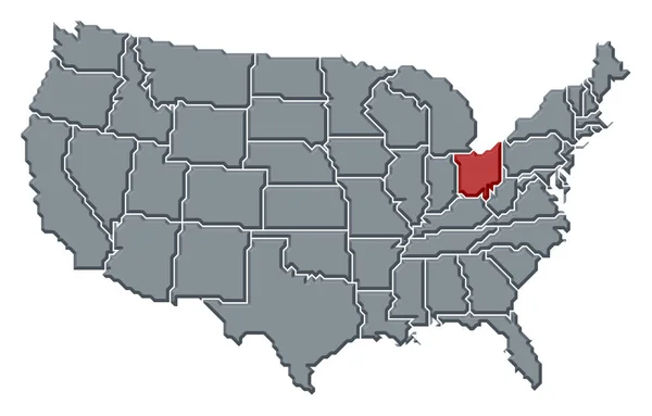
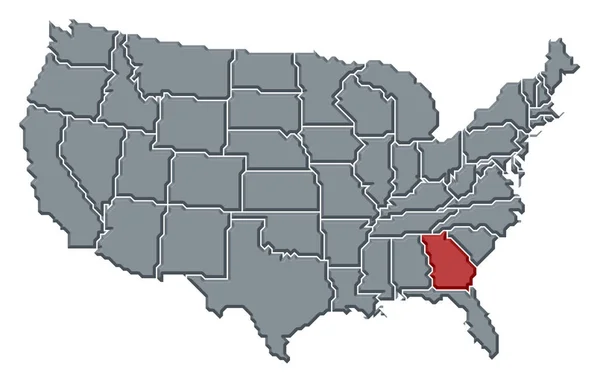
Stock image Political map of United States with the several states where Georgia is highlighted.
Published:
Apr.10, 2020 12:42:16
Author:
PantherMediaSeller
Views:
14
Downloads:
1
File type:
image
/
jpg
File size:
0 MB
Orginal size:
6339
x
4055
px
Available sizes:
S
(500 x 320)
M
(1000 x 640)
L
(2000 x 1279)
XL
(6339 x 4055)
EL0
(6339 x 4055)
Level:
platinum
Download Image
Image topics:
Colours
Color
Colors
Colorful
Colored
Colour
Colourful
Border
3d
Contour
Country
Cartography
Geography
Area
General
Coloured
America
Countries
Borders
Georgia
Frontier
Atlas
Americas
Emphasize
Contours
Areas
Bunt
Ga
Frontiers
Farbig
FARBEN
Farbe
Amerika
Fläche
Einfach
Dreidimensional
Geografie
Gebiet
Bundesland
Bundesländer
Bundeslaender
General Map
General Maps
Flaeche
Einteilung
Flächen
Gebiete
Flaechen
Similar stock images
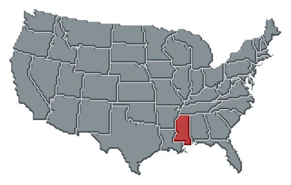
Political Map Of United States With The Several States Where Mississippi Is Highlighted.
6339 × 4055
Political Map Of United States With The Several States Where Alabama Is Highlighted.
6339 × 4055
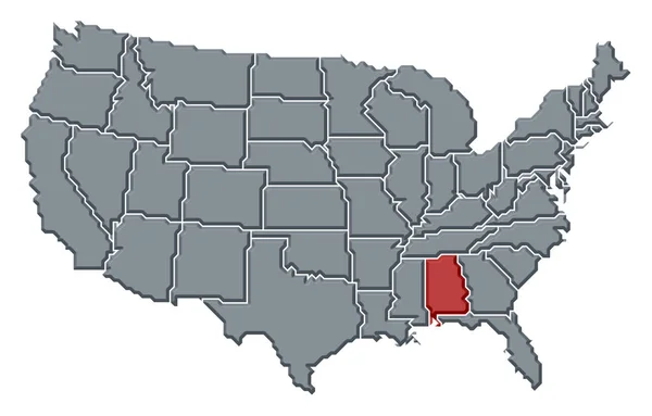
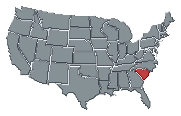
Political Map Of United States With The Several States Where South Carolina Is Highlighted.
6339 × 4055
Political Map Of United States With The Several States Where North Carolina Is Highlighted.
6339 × 4055
Political Map Of United States With The Several States Where Virginia Is Highlighted.
6339 × 4055
Political Map Of United States With The Several States Where Arkansas Is Highlighted.
6339 × 4055
Political Map Of United States With The Several States Where Ohio Is Highlighted.
6339 × 4055
Political Map Of United States With The Several States Where Pennsylvania Is Highlighted.
6339 × 4055