Home
Images
Vectors
Videos
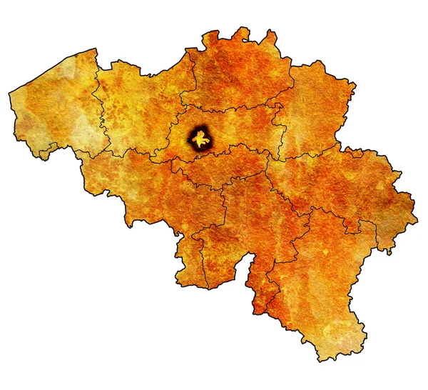
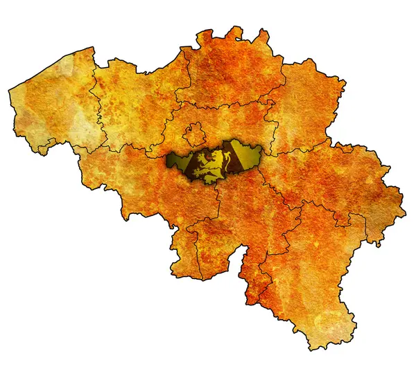
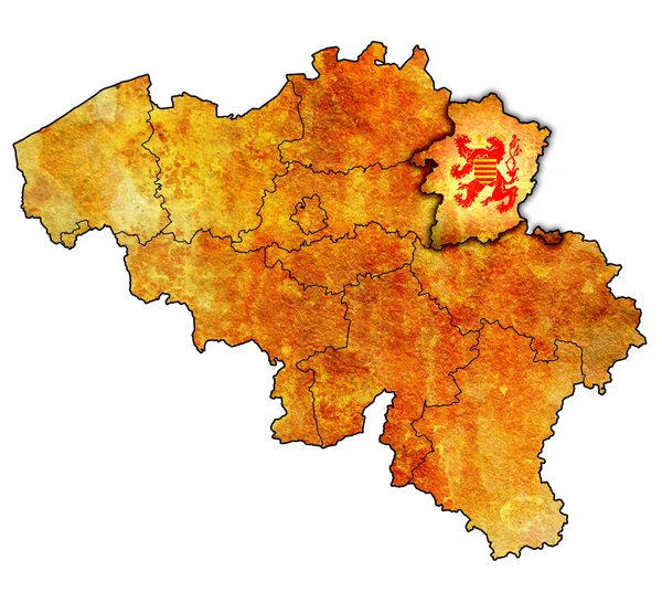
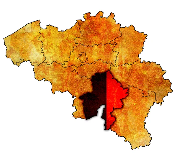
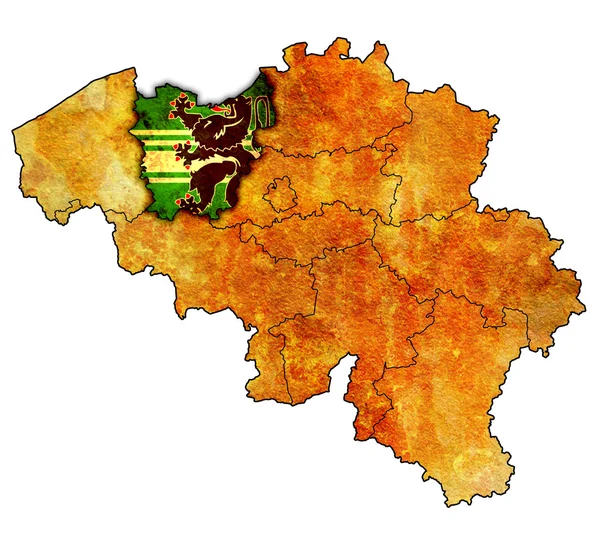
Stock image provinces on map of belgium
Published:
Apr.28, 2014 20:11:41
Author:
michal812
Views:
181
Downloads:
0
File type:
image
/
jpg
File size:
5.53 MB
Orginal size:
4456
x
4056
px
Available sizes:
S
(500 x 455)
M
(1000 x 910)
L
(2000 x 1820)
XL
(4456 x 4056)
EL0
(4456 x 4056)
Level:
bronze
Download Image
Image topics:
On
Illustration
Isolated
Clipping
Path
Travel
Border
Grunge
Old
Vintage
Flag
Symbol
With
Europe
Country
Map
Cartography
Geography
State
Emblem
Location
Political
Of
Region
Division
Administration
Brussels
Belgium
Atlas
Province
Flags
Nation
Flanders
Provinces
Namur
Similar stock images
Brussels On Map Of Belgium
4456 × 4056
Walloon Brabant On Map Of Belgium
4456 × 4056
Limburg On Map Of Belgium
4456 × 4056
Namur On Map Of Belgium
4456 × 4056
East Flanders On Map Of Belgium
4456 × 4056
Flemish Brabant On Map Of Belgium
4456 × 4056
Territories Of Cantons On Map Of Switzerland
4576 × 4531
Burgenland On Map Of Austria
4456 × 4056