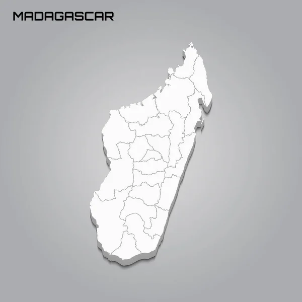
Stock image Realistic Map of Madagascar, 3d illustration, island style

Published: Jan.09, 2019 14:25:33
Author: ParabolStudio
Views: 1
Downloads: 0
File type: image / jpg
File size: 2.59 MB
Orginal size: 2000 x 2000 px
Available sizes:
Level: bronze