Home
Images
Vectors
Videos
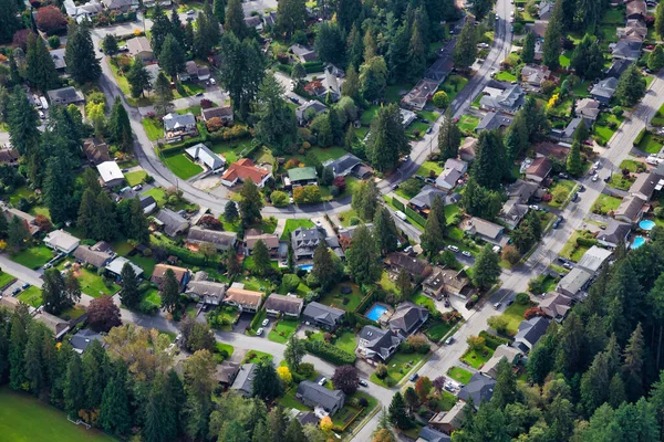
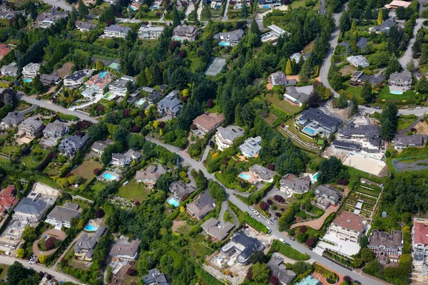
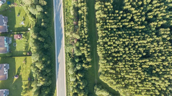
Stock image Road between the forest and residential area view from the drone.
Published:
Jun.30, 2021 11:20:01
Author:
kosoff
Views:
1
Downloads:
0
File type:
image
/
jpg
File size:
11.02 MB
Orginal size:
4000
x
2250
px
Available sizes:
S
(500 x 281)
M
(1000 x 563)
L
(2000 x 1125)
XL
(4000 x 2250)
EL0
(4000 x 2250)
Level:
bronze
Download Image
Image topics:
Background
View
Photography
Sky
Shot
Travel
Summer
Grass
Nature
Transportation
Tree
Pattern
Connection
Road
Traffic
Modern
City
House
Wall
Cars
Forest
Usa
Town
Area
Apartment
Residential
Ecosystem
America
Driveway
Parking
Community
Aerial
Crossroad
Rooftop
Virginia
Drone
High Angle View
Color Image
Home Improvement
Building Exterior
Domestic Life
City Life
Social Issues
No People
Aerial View
Environmental Conservation
Residential Area
City Street
Urban Road
Leesburg
Similar stock images
Aerial View Of Residential Homes In A Green Neighborhood
5472 × 3648
Aerial View Of Residential Homes In A Green Neighborhood
5472 × 3648
An Aerial View Of Cityscape Vancouver Surrounded By Buildings And Trees
3072 × 1728
Aerial Landscape View Of Village Houses And Distant Green Cultivated Agricultural Fields With Growing Crops On Bright Summer Day
3200 × 2133
New Asphalt Road With Retaining Walls. Beautiful Summer Sunny Day From Above. Aerial Shot.
7587 × 5058
Aerial View Of Residential Homes In A Green Neighborhood
5472 × 3648
Aerial View Of Luxury Homes In British Properties, West Vancouver, British Columbia, Canada. Taken During A Sunny Summer Day.
5472 × 3648
Aerial View Of Countryside, Drone Top View
3992 × 2242