Home
Images
Vectors
Videos
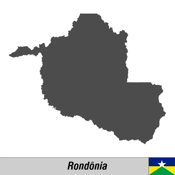
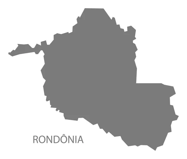
Stock image Rondonia Brazil Map grey
Published:
Apr.15, 2020 10:18:15
Author:
PantherMediaSeller
Views:
2
Downloads:
0
File type:
image
/
jpg
File size:
0 MB
Orginal size:
5898
x
5000
px
Available sizes:
S
(500 x 424)
M
(1000 x 848)
L
(2000 x 1695)
XL
(5898 x 5000)
EL0
(5898 x 5000)
Level:
platinum
Download Image
Image topics:
Graphic
Illustration
Design
Isolated
Shape
New
Black
Silhouette
Border
Modern
Gray
City
Flat
Grey
Simple
Country
Map
Area
Trip
State
Countries
Borders
Administrative
Department
States
Region
Division
Brazil
Territory
Atlas
Divisions
Regional
Swarthy
Districts
Brasil
Provinces
Regions
Counties
Departments
Rondonia
Map Of The World
Jetblack
Similar stock images
High Quality Map With Flag State Of Brazil
4000 × 4000
Rondonia State Map Silhouette
5000 × 3500
Modern Map - Rondonia BR
5545 × 5000
Polygonal Network Mesh High Resolution Vector Map Of Rondonia State Abstractions
6152 × 3000
The Rondonia State Regions Map With Labels On White Background, Brazil
5000 × 4214
Modern Map - Rondonia BR Brazil
5217 × 4544
The Rondonia State Map Divided In Regions With Labels, Brazil
5000 × 4214
High Quality Map Of Rondonia Is A State Of Brazil
4000 × 4000