Home
Images
Vectors
Videos
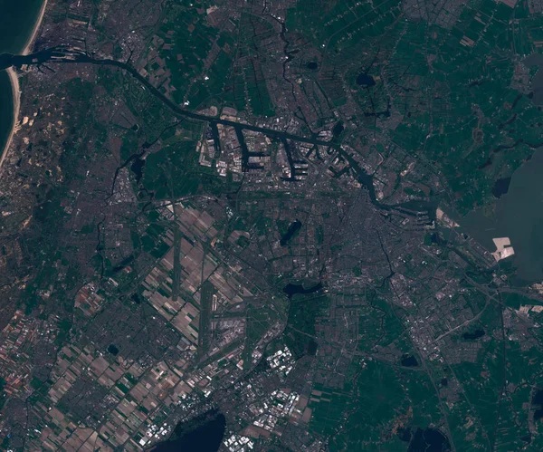
Stock image Satellite map of Amsterdam, Netherlands, view from space
Published:
Aug.25, 2020 21:10:55
Author:
trismegist@yandex.ru
Views:
0
Downloads:
0
File type:
image
/
jpg
File size:
4.95 MB
Orginal size:
3000
x
2500
px
Available sizes:
S
(500 x 417)
M
(1000 x 833)
L
(2000 x 1667)
XL
(3000 x 2500)
EL0
(3000 x 2500)
Level:
bronze
Download Image
Image topics:
Travel
People
Close
European
Border
Open
City
Structure
Urban
Real
Street
Netherlands
Tourism
Security
Town
Capital
Europe
Economy
Country
Map
Cartography
Geography
Land
Houses
Geology
Terrain
Entry
Politics
Roads
Population
Settlement
Dutch
Metropolitan
Megalopolis
Amsterdam
Anthropomorphic
Urbanism
Agglomeration
Satellite Image
Similar stock images
Satellite Map Of Kazan In Russia, View From Space
3000 × 2500
Satellite Map Of Rotterdam Netherlands, View From Space
3000 × 2500
Satellite Map Of Nizhny Novgorod In Russia, View From Space
3000 × 2500
Satellite Map Of Saint Petersburg In Russia, View From Space
3000 × 2500
Satellite Map Of Copenhagen Denmark, View From Space
3000 × 2500
Satellite Map Of Prague Czech Republic, , View From Space
3000 × 2500
Satellite Map Of Yekaterinburg In Russia , View From Space
3000 × 2500
Satellite Map Of Kiev Ukraine, View From Space
3000 × 2500