Home
Images
Vectors
Videos
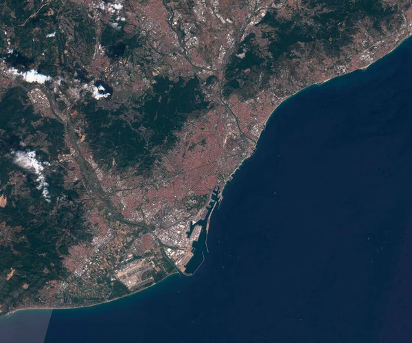
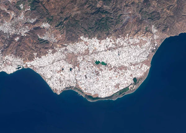
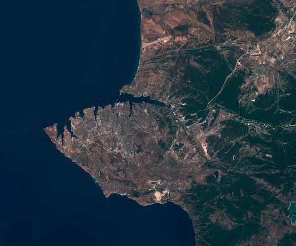
Stock image Satellite map of Sevastopol, view from space. contains modified Copernicus Sentinel data
Published:
Sep.08, 2020 10:02:36
Author:
trismegist@yandex.ru
Views:
17
Downloads:
3
File type:
image
/
jpg
File size:
3.72 MB
Orginal size:
3000
x
2500
px
Available sizes:
S
(500 x 417)
M
(1000 x 833)
L
(2000 x 1667)
XL
(3000 x 2500)
EL0
(3000 x 2500)
Level:
bronze
Download Image
Image topics:
Travel
People
Close
Border
Open
City
Structure
Urban
Real
Street
Crimea
Tourism
Security
Town
Capital
Economy
Country
Map
Cartography
Geography
Land
Houses
Geology
Terrain
Entry
Politics
Population
Settlement
Metropolitan
Megalopolis
Anthropomorphic
Sevastopol
Urbanism
Agglomeration
Russian Federation
Satellite Image
Similar stock images
Satellite Map Of Barcelona Spain, View From Space
3000 × 2500
Satellite Map Of Athens Greece,, View From Space
3000 × 2500
Satellite Map Of Marseille France, View From Space
3000 × 2500
Satellite Image Of Intensive Farming With Plastic Greenhouses In Spain
4349 × 3107
Nueva Esparta, State Of Venezuela. Low Resolution Satellite Map
3840 × 2880
Satellite Image Of Athens, Greece
4564 × 3259
Aerial View Of The Cyprus Island Surrounded By Azure Sea With Waves, Yacht, City Relief And Coastline
5016 × 3178