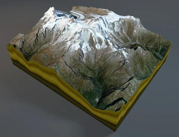
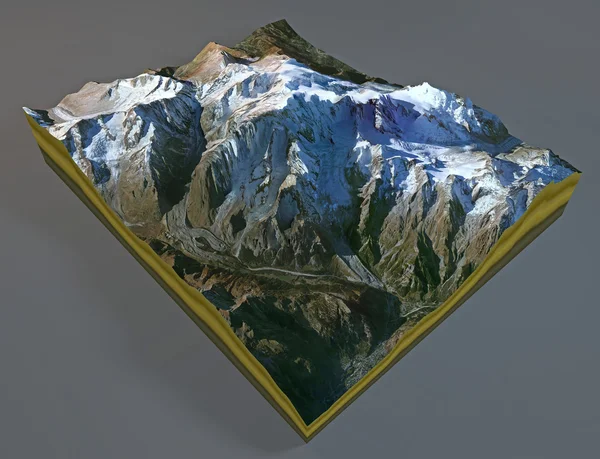
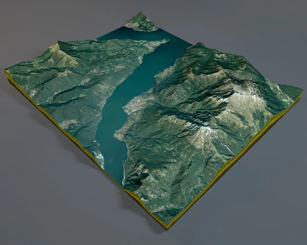
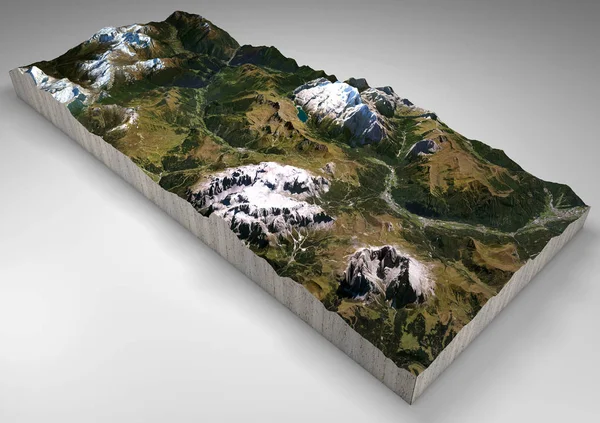
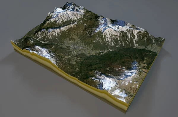
Stock image Satellite view of Cortina d'Ampezzo map
Published: Aug.12, 2015 08:18:32
Author: vampy1
Views: 62
Downloads: 0
File type: image / jpg
File size: 10.87 MB
Orginal size: 5039 x 3333 px
Available sizes:
Level: silver