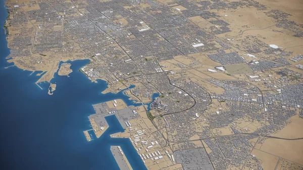
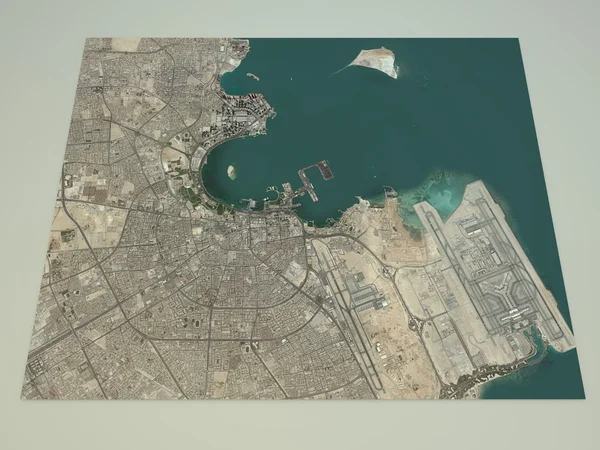
Stock image Satellite view of Doha map
Published: Jun.02, 2015 11:03:19
Author: vampy1
Views: 77
Downloads: 0
File type: image / jpg
File size: 7.5 MB
Orginal size: 4724 x 3543 px
Available sizes:
Level: silver
Similar stock images

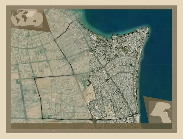

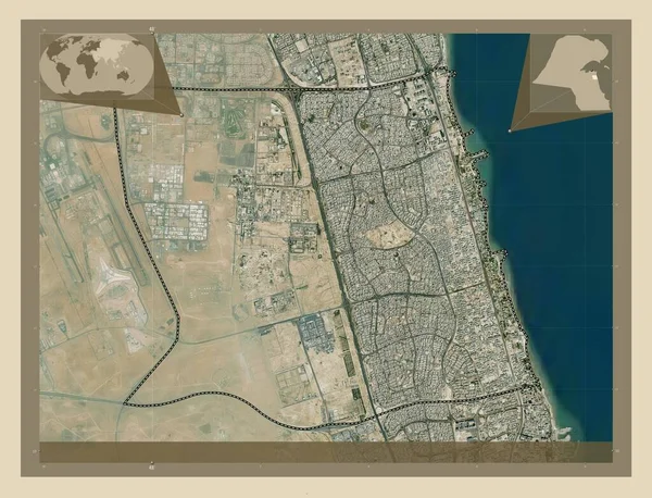
Hawalli, Province Of Kuwait. High Resolution Satellite Map. Corner Auxiliary Location Maps
4930 × 3770