Home
Images
Vectors
Videos
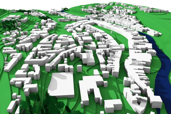
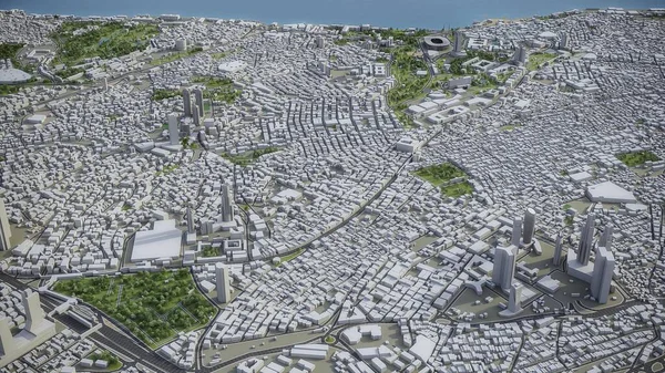
Stock image Satellite view of Istanbul. Map streets and buildings. 3d rendering. View of the Bosphorus Strait, center of the city. Turkey
Published:
Dec.15, 2021 07:57:29
Author:
vampy1
Views:
7
Downloads:
1
File type:
image
/
jpg
File size:
7.23 MB
Orginal size:
4133
x
2325
px
Available sizes:
S
(500 x 281)
M
(1000 x 563)
L
(2000 x 1125)
XL
(4133 x 2325)
EL0
(4133 x 2325)
Level:
silver
Download Image
Image topics:
Background
Space
Travel
Sea
Dark
Border
Building
City
Downtown
Urban
Lines
Global
Earth
Planet
Town
Europe
Globe
Asian
Country
District
Map
Cartography
Geography
Plan
Land
Turkey
Asia
Metropolis
Topography
Istanbul
Mosque
Location
International
Borders
Muslim
Aerial
Satellite
Roads
Cities
Streets
Gps
Atlas
Highlighted
Urbanization
3d Rendering
Satellite View
City Lights
Galata Tower
Similar stock images
Satellite View Of Istanbul. Map Streets And Buildings. 3d Rendering. View Of The Bosphorus Strait, Center Of The City. Turkey
4133 × 2325
Satellite View Of Istanbul. Map Streets And Buildings. 3d Rendering. View Of The Bosphorus Strait, Center Of The City
4133 × 2325
Satellite View Of Bahrain. Map Of The Capital Manama. Streets And State Buildings. 3d Rendering
4133 × 2325
Venice Italy From The Altitude Of The Quadrocopter, Grand Canal, 2019 In 3D
3506 × 1893
3d City Master Plan, Construction Concept View
3600 × 2400
Neighborhood Of St. Peters Church In The Vatican From A Height Of Flight
3575 × 1891
Istanbul - 3D Model Aerial Rendering
3840 × 2160
St. Peters Basilica In The Vatican From A Birds Eye View
3575 × 1891