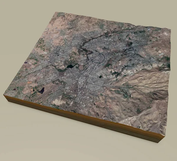
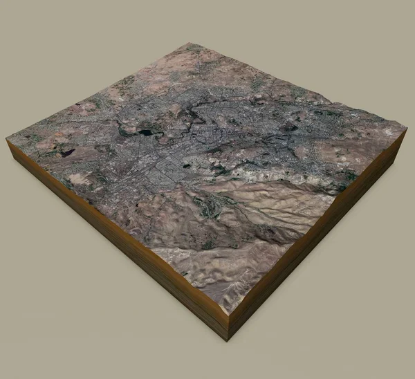
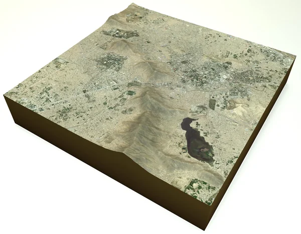
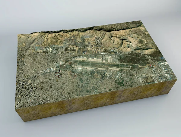
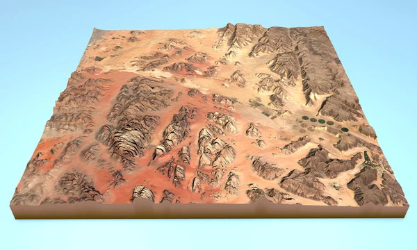
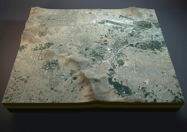
Stock image Satellite view of Kabul map
Published: Oct.12, 2015 07:17:59
Author: vampy1
Views: 103
Downloads: 1
File type: image / jpg
File size: 11.93 MB
Orginal size: 4724 x 3333 px
Available sizes:
Level: silver