Home
Images
Vectors
Videos
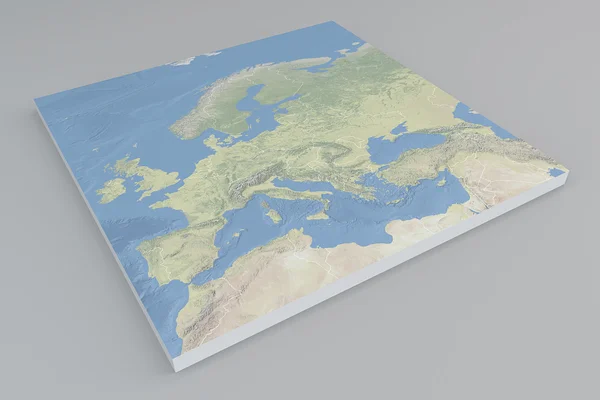
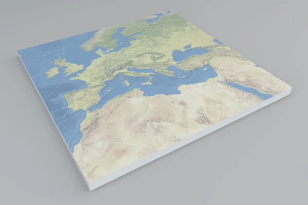
Stock image Satellite view of North Africa map
Published:
Jun.17, 2015 15:36:41
Author:
vampy1
Views:
90
Downloads:
1
File type:
image
/
jpg
File size:
7.9 MB
Orginal size:
4724
x
3149
px
Available sizes:
S
(500 x 333)
M
(1000 x 667)
L
(2000 x 1333)
XL
(4724 x 3149)
EL0
(4724 x 3149)
Level:
silver
Download Image
Image topics:
Green
Blue
Background
View
Illustration
Detail
Water
Cutting
Sea
Mount
Square
3d
Gray
Smoke
Global
Education
Earth
World
Usa
Relief
Section
Map
Geography
Area
Algeria
Egypt
Land
Split
Borders
Explore
Aerial
Satellite
Geographic
Territory
Atlas
Tunisia
Morocco
Geographical
Libya
Mali
Sudan
Territories
North Africa
Northern Africa
Africa Map
Similar stock images
Satellite View Of Europe Map
4724 × 3149
Satellite View Of America Map
4724 × 3149
Satellite View Of East Africa Map
4724 × 3149
Satellite View Of Southern Asia Map
4724 × 3149
Flat World Map
4724 × 3149
Street And Political Map Of Europe And North Africa. European Cities. Political Map With The Border Of The States. Urban Areas. Street Directory, Atlas.
6889 × 4921
Planisphere Map Globe, Political Map
5511 × 4724