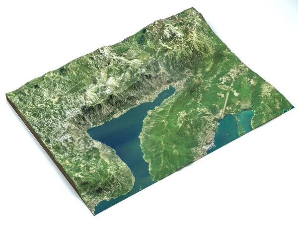
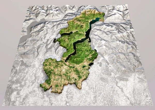
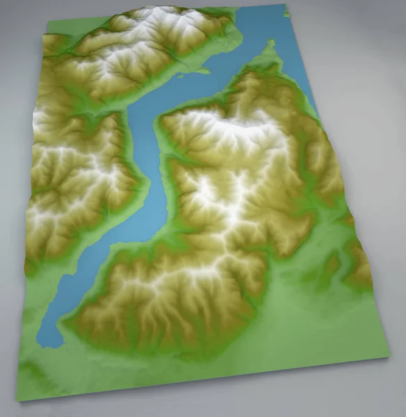
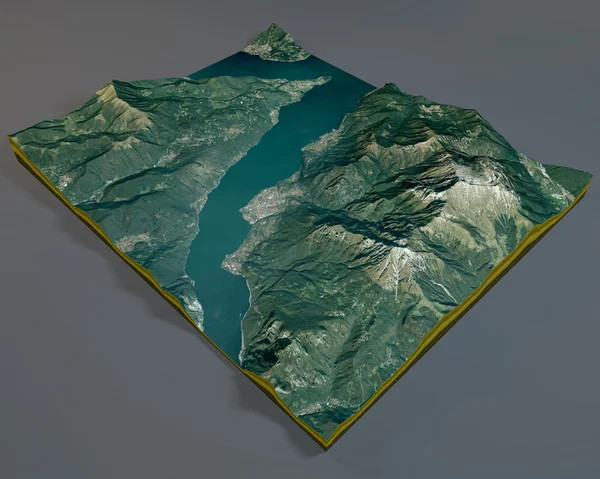
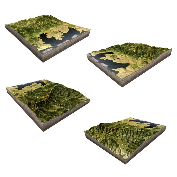
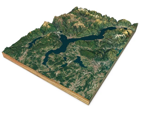
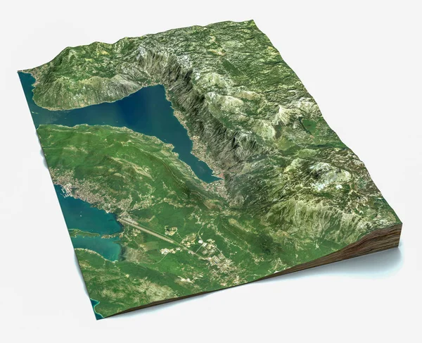
Stock image Satellite view of the largest fjord in the Mediterranean. The Bay of Kotor, Boka. It is surrounded by Dinaric Alps: the Orjen and the Lovcen mountains. 3d render. Section of the fjord. Map
Published: Sep.26, 2019 12:05:34
Author: vampy1
Views: 10
Downloads: 1
File type: image / jpg
File size: 13.35 MB
Orginal size: 5085 x 4133 px
Available sizes:
Level: silver