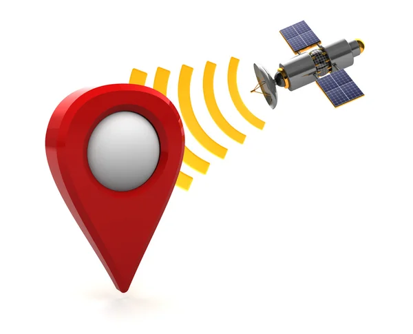
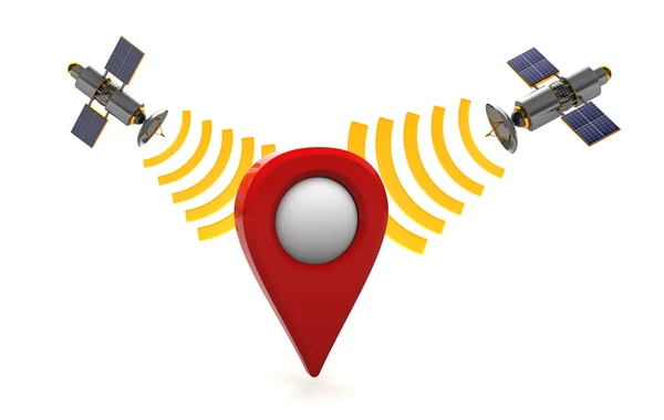
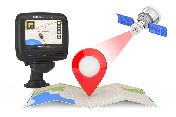
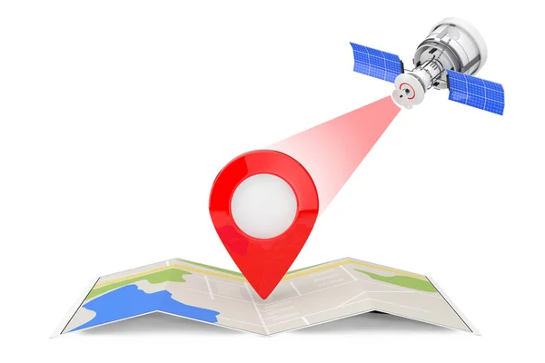
Stock image Sattelite navigation concept
Published: Nov.27, 2015 18:22:40
Author: mmaxer
Views: 82
Downloads: 15
File type: image / jpg
File size: 2.5 MB
Orginal size: 5000 x 3750 px
Available sizes:
Level: silver