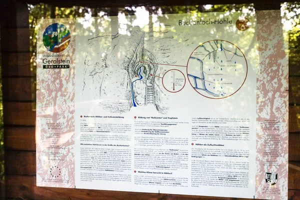
Stock image scheme of Buchenlochhohle cave in Gerolstein
Published: Jan.19, 2018 11:08:03
Author: vvoennyy
Views: 8
Downloads: 0
File type: image / jpg
File size: 4.39 MB
Orginal size: 3000 x 2000 px
Available sizes:
Level: silver