Home
Images
Vectors
Videos
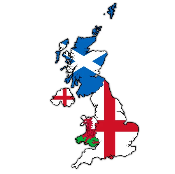
Stock image Scotland on political map of united kingdom
Published:
Jun.24, 2019 16:15:17
Author:
michal812
Views:
1
Downloads:
0
File type:
image
/
jpg
File size:
0.9 MB
Orginal size:
4576
x
4531
px
Available sizes:
S
(500 x 495)
M
(1000 x 990)
L
(2000 x 1980)
XL
(4576 x 4531)
EL0
(4576 x 4531)
Level:
bronze
Download Image
Image topics:
Blue
Illustration
Isolated
Border
Vintage
Flag
Symbol
District
Map
Cartography
Geography
Uk
Emblem
Political
Administrative
Region
Division
Province
Scotland
County
Municipality
Gb
Great Britain
Clipping Path
Coat Of Arms
United Kingdom
Similar stock images
Political Map Of United Kingdom With Member Countries
4576 × 4531
Northern Ireland On Political Map Of United Kingdom
4576 × 4531
Political Map Of United Kingdom With Member Countries
4576 × 4531
England On Political Map Of United Kingdom
4576 × 4531
Northern Ireland On Political Map Of United Kingdom
4576 × 4531
Scotland On Political Map Of United Kingdom
4576 × 4531
Wales On Political Map Of United Kingdom
4576 × 4531
GREEN CMYK Color Detailed Flat Stencil Map Of The European Country Of SCOTLAND On Transparent Background
4050 × 6000