Home
Images
Vectors
Videos
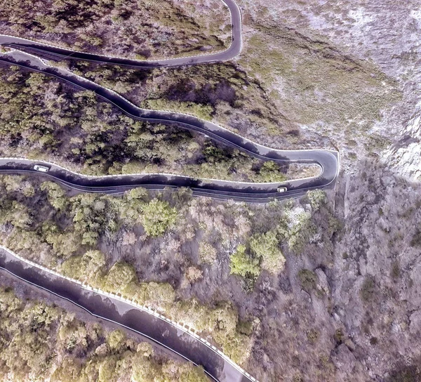
Stock image Serra da Freita drone aerial top view in Arouca Geopark road at sunset, in Portugal
Published:
Nov.30, 2020 15:13:28
Author:
LuisPinaPhotography
Views:
0
Downloads:
0
File type:
image
/
jpg
File size:
13.87 MB
Orginal size:
5464
x
3640
px
Available sizes:
S
(500 x 333)
M
(1000 x 666)
L
(2000 x 1332)
XL
(5464 x 3640)
EL0
(5464 x 3640)
Level:
beginner
Download Image
Image topics:
Green
Background
View
Beautiful
Travel
Park
Nature
Spring
Outdoor
Environment
Rural
Water
Wind
Natural
Tree
Mountain
Old
Road
Landscape
Village
Architecture
Building
Countryside
Mountains
Scenery
Rock
Scenic
Tourism
Landmark
Town
Ancient
Europe
Turbine
Portugal
Ruins
Buildings
Medieval
Aerial
Valley
Uninhabited
Portuguese
Drone
Geopark
Schist
Arouca
Paiva
Paiva River
Serra Da Freita
Drave Village
Vouga River
Similar stock images
Aerial View Of The Road In The Forest
5195 × 3463
Coast Of The Crimea Peninsula, Rocky Mountains, Aerial View Of The Novy Svet Sea Resort, Mountain Serpentine
5464 × 3070
Breathtakingly Steep And Curvy Roads Climbing The Coastal Cliffs Of The Sfakia Region Of Southern Crete, Greece
3840 × 2160
Overhead View Of Zigzag Mountain Road.
3229 × 2928
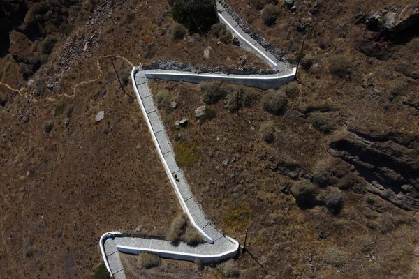
Aerial View Of The Path Leading Up The Cliff From Port On The Village Of Thirasia, Greece On August 16, 2020
4000 × 2667
Empty Long Mountain Road To The Horizon On A Sunny Summer Day At Bright Sunset - Aerial Drone Shot.
6058 × 2585
Winding Mountain Road, Serpentine, Top View. Aerial Photography. Mountain Landscape.
3640 × 5464
Mountain Road Birds Eye View From High Beyond The Way And Hill
3992 × 2992