photo free
Home Images Vectors Videos

Stock image Shape of a topographic, OSM standard style map of the Turks and Caicos Islands, with distance scale and map border coordinates, isolated on white

Stock image Shape of a topographic, OSM standard style map of the Turks and Caicos Islands, with distance scale and map border coordinates, isolated on white
Published: Dec.28, 2023 13:28:30
Author: zelwanka
Views: 0
Downloads: 0
File type: image / jpg
File size: 0.71 MB
Orginal size: 2666 x 1687 px
Available sizes:
S
(500 x 316)
M
(1000 x 633)
L
(2000 x 1266)
XL
(2666 x 1687)
EL0
(2666 x 1687)
Level: beginner
Download Image
Image topics:

Similar stock images

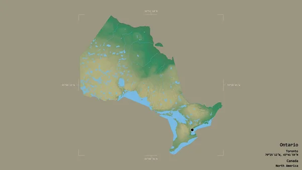
stock image Area of Ontario, province of Canada, isolated on a solid background in a georeferenced bounding box. Labels. Topographic relief map. 3D rendering

Area Of Ontario, Province Of Canada, Isolated On A Solid Background In A Georeferenced Bounding Box. Labels. Topographic Relief Map. 3D Rendering

2880 × 1620
stock image Area of Nunavut, territory of Canada, isolated on a solid background in a georeferenced bounding box. Labels. Topographic relief map. 3D rendering

Area Of Nunavut, Territory Of Canada, Isolated On A Solid Background In A Georeferenced Bounding Box. Labels. Topographic Relief Map. 3D Rendering

2880 × 1620
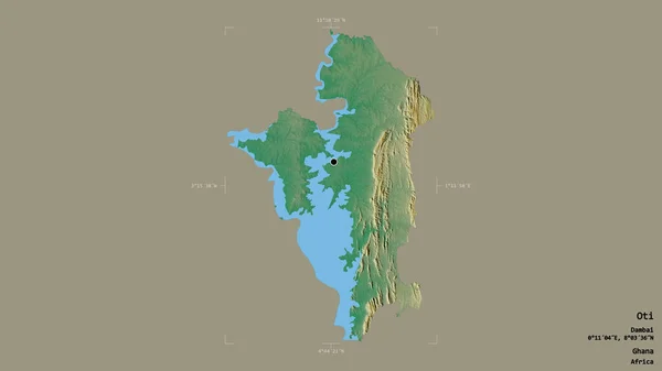
stock image Area of Oti, region of Ghana, isolated on a solid background in a georeferenced bounding box. Labels. Topographic relief map. 3D rendering

Area Of Oti, Region Of Ghana, Isolated On A Solid Background In A Georeferenced Bounding Box. Labels. Topographic Relief Map. 3D Rendering

2880 × 1620
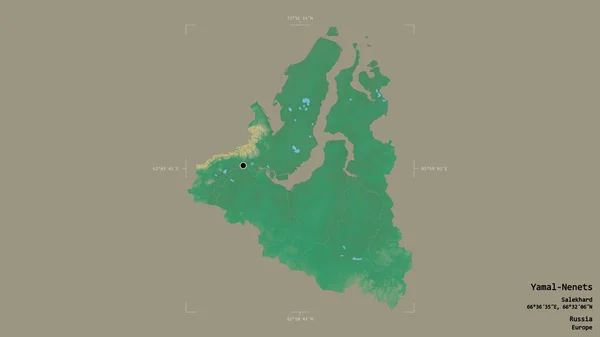
stock image Area of Yamal-Nenets, autonomous province of Russia, isolated on a solid background in a georeferenced bounding box. Labels. Topographic relief map. 3D rendering

Area Of Yamal-Nenets, Autonomous Province Of Russia, Isolated On A Solid Background In A Georeferenced Bounding Box. Labels. Topographic Relief Map. 3D Rendering

2880 × 1620
stock image Area of Veracruz, state of Mexico, isolated on a solid background in a georeferenced bounding box. Labels. Topographic relief map. 3D rendering

Area Of Veracruz, State Of Mexico, Isolated On A Solid Background In A Georeferenced Bounding Box. Labels. Topographic Relief Map. 3D Rendering

2880 × 1620
stock image Monte Cristi, province of Dominican Republic. Sentinel-2 satellite imagery. Shape isolated on solid background with informative overlays. Contains modified Copernicus Sentinel data

Monte Cristi, Province Of Dominican Republic. Sentinel-2 Satellite Imagery. Shape Isolated On Solid Background With Informative Overlays. Contains Modified Copernicus Sentinel Data

3872 × 2582
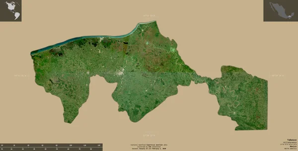
stock image Tabasco, state of Mexico. Sentinel-2 satellite imagery. Shape isolated on solid background with informative overlays. Contains modified Copernicus Sentinel data

Tabasco, State Of Mexico. Sentinel-2 Satellite Imagery. Shape Isolated On Solid Background With Informative Overlays. Contains Modified Copernicus Sentinel Data

4441 × 2251
stock image Area of Tete, province of Mozambique, isolated on a solid background in a georeferenced bounding box. Labels. Topographic relief map. 3D rendering

Area Of Tete, Province Of Mozambique, Isolated On A Solid Background In A Georeferenced Bounding Box. Labels. Topographic Relief Map. 3D Rendering

2880 × 1620