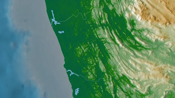
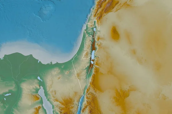
Stock image Shape of Israel separated by the desaturation of neighboring areas. Topographic relief map. 3D rendering

Published: Sep.16, 2020 08:32:57
Author: Yarr65
Views: 3
Downloads: 1
File type: image / jpg
File size: 3.66 MB
Orginal size: 3000 x 2000 px
Available sizes:
Level: bronze
Similar stock images

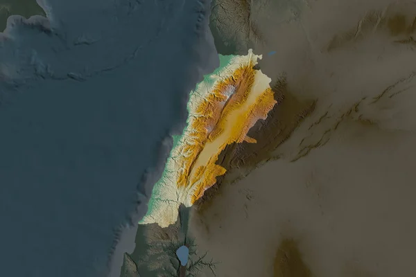
Shape Of Lebanon Separated By The Desaturation Of Neighboring Areas. Topographic Relief Map. 3D Rendering
3000 × 2000